This week, northern Australia and parts of the Mascarene Islands in the south Indian Ocean are set to experience significant weather disruptions, largely due to the monsoon trough.
The monsoon trough, part of the Intertropical Convergence Zone, is a zone where the larger monsoon circulation interacts with local atmospheric conditions. It features a zone of lower sea level pressure and increased atmospheric spin, or vorticity.
On Thursday, January 11, a weather disturbance formed along the monsoon trough east of northern Madagascar. This system quickly organized into a tropical cyclone, named Belal, by Friday, and intensified into a severe tropical storm by Saturday.
Favorable atmospheric and oceanic conditions allowed Belal to rapidly strengthen, with wind speeds increasing by 30 knots in just 24 hours.

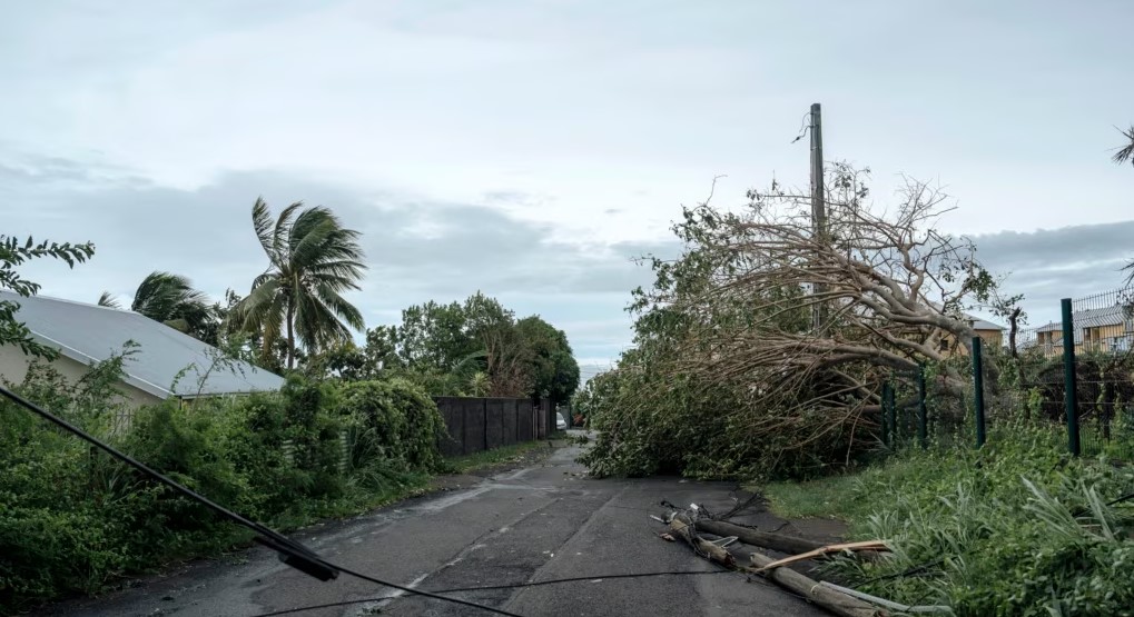
The cyclone is anticipated to impact Réunion Island on Monday afternoon, prompting Météo-France to issue a red cyclone warning. This marks the first significant cyclone threat for Réunion since Cyclone Firinga in January 1989.
Belal is expected to maintain its strength throughout the week, moving south of Mauritius on Tuesday and later shifting eastwards towards Rodrigues Island.
In northern Australia, the monsoon trough will bring moist north-westerly winds, resulting in weather despite the general weakening of the Australian monsoon during El Niño years.
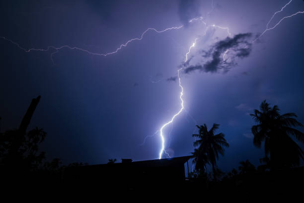
From Monday to Saturday, severe thunderstorms are forecasted for northern parts of the Northern Territory and northern Queensland, with rainfall potentially exceeding 100mm.
The Northern Territory could experience up to 300mm of rain in some areas, significantly higher than usual January levels. There is also a possibility of this heavy rainfall extending southwards to affect southern Northern Territory later in the week.

