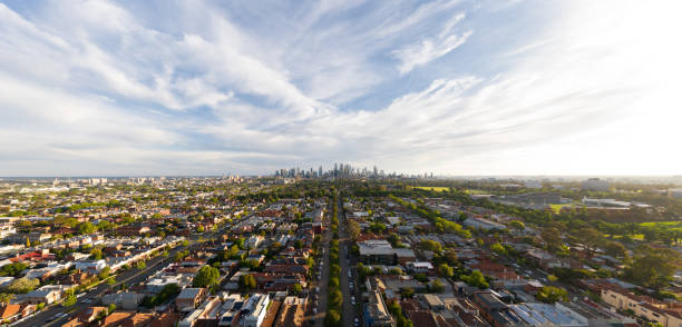
An intense heatwave has gripped much of south-eastern Australia but is expected to diminish in the coming days, heralding a milder autumn.
On Monday, South Australia and Victoria continued to experience sweltering conditions, with temperatures in South Australia predicted to range from the high 30s to the low 40s, while Victoria faced highs in the high 30s.
Relief is on the horizon as a cool change is expected to bring temperatures down to the low 20s in Victoria and low 30s in South Australia by Tuesday. Tasmania is also set to see cooler temperatures, with forecasts indicating mid-20s across most of the state.

Helen Reid from the Bureau of Meteorology mentioned that while autumn temperatures might be slightly above average, severe heatwaves are less likely. Nevertheless, she cautioned that weather can be unpredictable.
The South-West district of Victoria was under an extreme fire risk warning with a total fire ban in effect, while other regions, excluding East Gippsland, faced high fire risks.
The recent heatwave set several records, including Hobart’s highest minimum overnight temperature (24.3°C) since 1912 and Adelaide’s highest minimum temperature of 28°C in five years.
The extreme temperatures led to the cancellation of several events, including Melbourne’s Moomba Parade and the Pitch Music and Arts Festival in Moyston.
The heatwave was driven by a blocking high, a stationary high-pressure system causing abnormal weather patterns. Reid noted that such stagnant high-pressure systems are unusual and can lead to persistent heat.
In Western Australia, the blocking high resulted in record rainfall, with Eyre experiencing its wettest day in 136 years. The Nullarbor Plain is also expected to receive significant rainfall, potentially leading to transportation disruptions.

