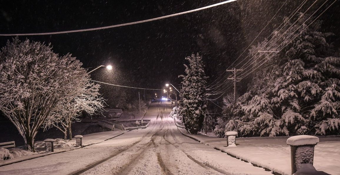
Melbourne and Sydney have experienced their coldest mornings of the year. On Tuesday, Queensland saw significant frost, with temperatures in central Queensland dropping notably.
Tambo post office recorded a record low of -5.6°C, matching its coldest annual record set in 1995. Thangool airport near Biloela hit -3.4°C, a new June record, while Roma airport reached -3.5°C, although this was not a record low.
Melbourne saw a low of 1.4°C and Sydney 6.5°C. The cold wave extended across the east coast, affecting Tasmania, Victoria, the ACT, and New South Wales.
Apparent temperatures felt up to 3°C colder than actual readings. The Bureau of Meteorology attributed the frigid conditions to a low-pressure system in the Tasman Sea combined with high pressure over eastern Australia, creating unusually cold weather.

By Friday, clouds were expected to blanket much of the region as the winter solstice approached, with another cold front forecast to bring widespread frost.
The cold air might extend as far north as Hamilton Island, potentially leading to the coldest temperatures of the year over the weekend.
Despite the frosty mornings, clear skies and light winds have led to bright, mild days, with temperatures near seasonal averages.
Wednesday is expected to see widespread frost from Tasmania to Queensland, with Proserpine in the Whitsundays region forecasted to drop to 5°C, significantly below its usual 12.9°C.
Canberra might see -3°C, Launceston -1°C, and Roma -1°C. Snow is possible in Victoria and New South Wales, including the central tablelands and Barrington Tops National Park.

