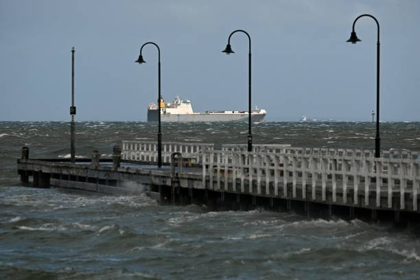
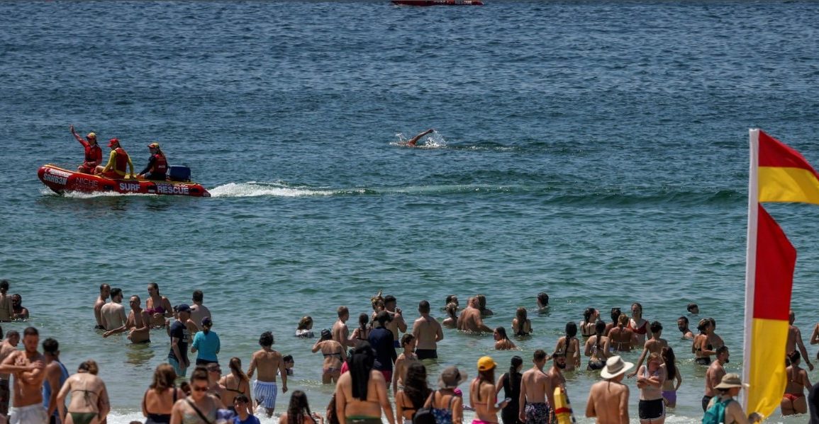
On Friday, parts of Sydney and south-west New South Wales faced high fire danger due to unusually warm temperatures and strong winds sweeping through southeastern Australia.
New South Wales, Victoria, southwest Queensland, and central Australia saw temperatures 6°C to 12°C above the norm.
Sydney experienced a sizzling 28.8°C by midday, while Melbourne was a breezy 24.5°C.
Wind gusts soared to 126 km/h in alpine areas of New South Wales, with steady winds exceeding 100 km/h in parts of Gippsland.

Christie Johnson, a senior meteorologist with the Bureau of Meteorology, noted that winds were expected to peak around lunchtime on Friday before easing as a cold front moved in.
This cold front is bringing rainfall, though it’s expected to be light in South Australia, New South Wales, and Victoria.
The heaviest showers are anticipated in Tasmania, which is already grappling with saturated catchments and flooding. Johnson warned of minor to moderate flooding in northern Tasmania and some southern areas due to the increased runoff.
Tonight, Tasmania may see small hail or even snow in low-lying regions before another cold front brings rain primarily to the west of the island on Sunday.
Meanwhile, the mainland will experience a shift towards milder conditions over the weekend, with temperatures returning closer to average and only light rainfall expected.
Stay tuned for updates as conditions evolve, particularly if you’re in flood-prone areas or planning to be outdoors in the coming days.

