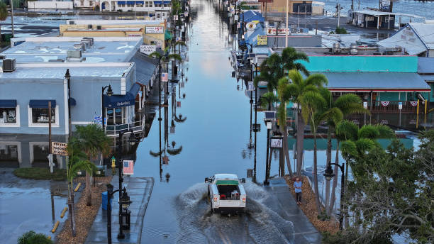
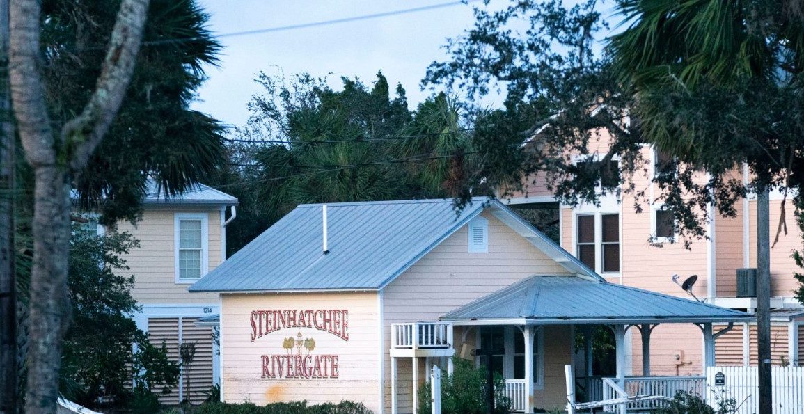
Hurricane Helene made landfall on the Florida coast Thursday night as a powerful Category 4 storm, bringing severe conditions to the Gulf Coast.
The storm, with maximum sustained winds of 225 km/h, was positioned approximately 70 km east-southeast of Tallahassee, Florida, according to the National Hurricane Center.
Helene rapidly intensified over warm Gulf waters, creating a storm surge that could reach 20 feet (6.1 meters) in some areas.
Local officials are warning that this event is life-threatening, particularly for those in coastal and low-lying regions. Jared Miller, sheriff of Wakulla County, emphasized the urgency of evacuation orders as time is running out.

States of emergency have been declared across Florida, Georgia, the Carolinas, Virginia, and Alabama. Florida Governor Ron DeSantis has urged residents in northern Florida to evacuate, highlighting potential flooding, road closures, and power outages as key concerns.
The storm is predicted to produce hurricane-force winds extending up to 50 miles from its center, with significant impacts expected in the Big Bend area.
John Dailey, mayor of Tallahassee, indicated that Helene could be the strongest storm to directly hit the city, potentially causing unprecedented damage.
Before making landfall, parts of Florida, such as Fort Myers Beach, experienced water levels 2 feet above normal. Tampa and St. Petersburg reported storm surges of up to 5 feet.
As Helene moves northeast, up to 50 million people are under hurricane and tropical storm warnings. Forecasters predict an additional 9 to 14 inches of rain across the Carolinas, raising concerns about flooding in already saturated areas.
The storm’s impact has extended beyond Florida, affecting western Cuba and parts of Mexico’s Yucatán Peninsula. Helene is the eighth named storm of the 2024 Atlantic hurricane season, which is expected to be above average due to record warm ocean temperatures.

