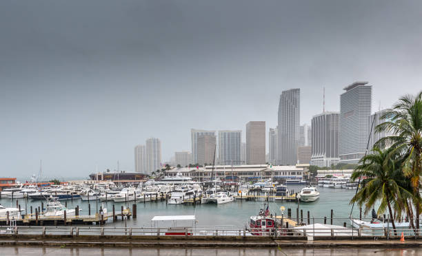
An area of disturbed weather is set to bring several days of squally conditions to Florida, resembling the impacts of a nor’easter. Expect gusty winds, heavy rainfall, and rough seas along the Sunshine State’s coastline.
The weather pattern is linked to a broad area of low pressure known as the Central American Gyre, which is funneling moisture into Florida.
Over the next week, widespread rainfall is expected, with up to 4–6 inches in some areas. This could lead to localized flooding, especially where thunderstorms repeatedly affect the same regions.
While the National Hurricane Center has indicated a low chance of development for the system in the Gulf of Mexico over the next week, this does not change the forecast for Florida.

Despite warm sea-surface temperatures, experts warn that hostile upper-level winds will likely hinder significant tropical development.
Rainfall is expected to be heaviest from the Interstate 4 corridor southward, with cities like Orlando, Tampa, Fort Myers, and Miami at risk for 4–6 inches of rain.
While widespread flooding is unlikely, localized flooding could occur in areas with repeated thunderstorm activity.
Along with the rain, rough seas will increase the risk of rip currents and coastal erosion. This threat will continue throughout the week, particularly along Florida’s beaches.
Although a tropical cyclone may not form from this system, the hurricane season is far from over. With warm waters in the Caribbean and Gulf, Florida could still see significant tropical storms, as October historically experiences the most landfalls in the state.
Stay tuned for further updates as the situation develops, particularly if more tropical activity forms in the region.

