As Storm Conall moves across the Netherlands, the UK is seeing a return to typical late November weather.
The storm, which caused heavy rainfall and widespread disruption on Wednesday, has cleared the southern parts of the country, allowing high pressure to build in from the north.
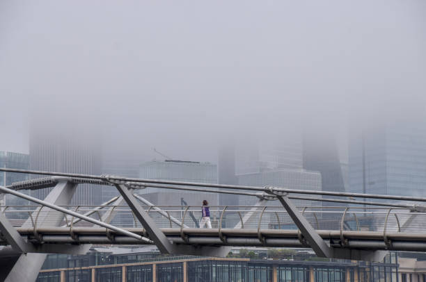
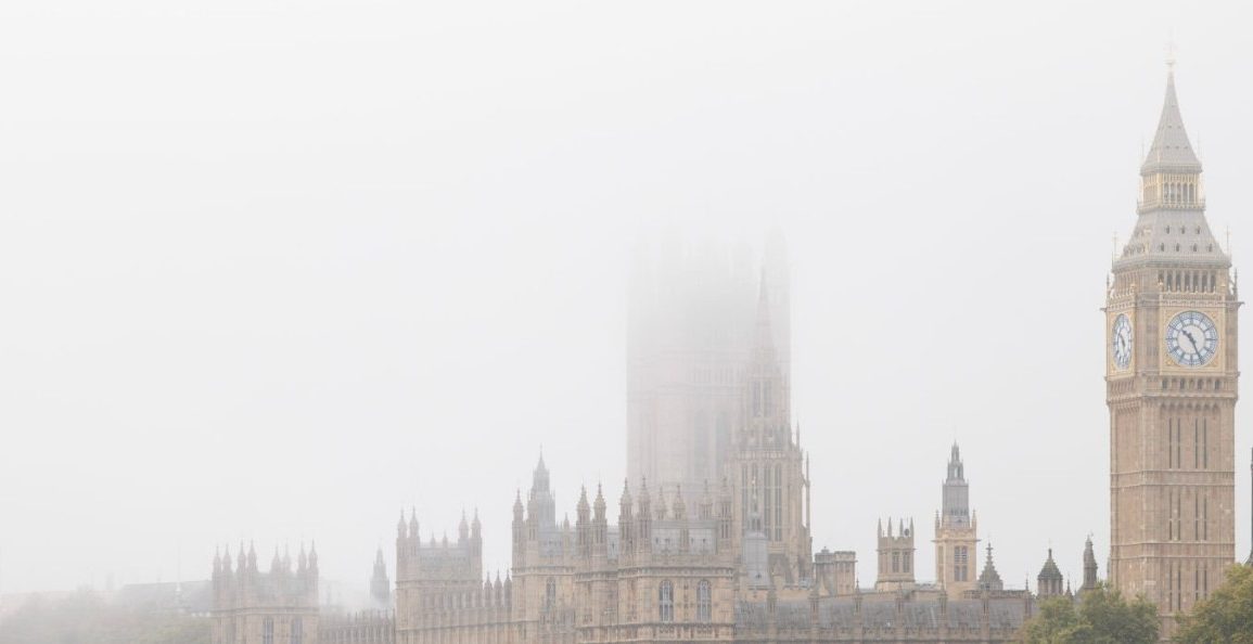
This shift has led to drier and clearer conditions, although some areas are still under yellow weather warnings for fog.
The Met Office has issued a yellow warning for fog across parts of western and southern England, including the Welsh border, which will remain in effect until 11 am on Thursday.
This fog, coupled with clear skies, is causing temperatures to drop significantly, with rural areas seeing lows of -2C to -4C.
In Scotland, temperatures are expected to plummet to around -8C, accompanied by icy stretches, freezing fog patches, and widespread frost.

For Thursday, the weather will vary across the UK.
The east will experience brighter, drier conditions with temperatures around 6-7C and sunny spells.
In contrast, the west will see cloudier skies and a risk of rain, particularly in far-western regions, where temperatures will hover around 9-10C.
Mr. Greg Dewhurst, a Met Office meteorologist, mentioned that despite the cold, conditions will remain relatively stable, with any rain largely confined to the north and west of the UK.
The coming weekend is expected to bring breezier conditions, though rain will mostly affect the northern and western parts, with occasional showers in the southeast by Sunday.
As the weather pattern continues, temperatures are predicted to remain near average, with weather fronts from the Atlantic bringing sporadic spells of rain.
However, these will predominantly impact the northern and western areas of the UK, leaving the east relatively dry and bright.

