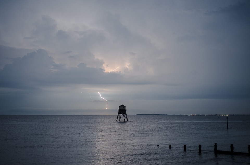
On Monday, the UK will experience a stark contrast in weather conditions, with severe thunderstorms expected in the northern regions while southern England basks in potentially record-breaking heat.
The southeast is poised to face its hottest day of the year, with temperatures anticipated to soar to 34°C or higher. This would surpass the previous high of 31.9°C recorded on 19 July at St James’s Park, London.
The UK Health Security Agency has issued a yellow heat health alert, effective until 9 am Tuesday. This alert covers several areas including London, the south-west, south-east, East Midlands, West Midlands, and eastern regions of England.
The surge in temperatures is linked to a kink in the jet stream, influenced by Storm Debby in the US.

This atmospheric disturbance is also driving thunderstorms into northern parts of the UK. The Met Office has issued a yellow warning for thunderstorms in northern England, Scotland, and Northern Ireland.
Residents in these areas should prepare for sudden flooding, which could lead to challenging driving conditions and potential road closures. There is also a risk of some communities becoming temporarily isolated due to floodwaters.
The thunderstorms may bring frequent lightning, heavy rain, and hail, with localized downpours expected to deliver between 40-60mm of rain in just one to two hours. Gale-force winds could also lead to power cuts and cause property damage.
In light of the severe weather, the Met Office advises securing outdoor items such as bins and garden furniture. The thunderstorms are forecasted to move northeast by Monday afternoon, with temperatures in the south returning to seasonal norms by midweek.
Additionally, high temperatures will increase the pollen count, particularly for nettle and mugwort, and raise UV levels. It is recommended to use sunscreen and cover up during peak sun hours.

