Heavy rainfall hit parts of the UK last Monday, with some areas in southern and central England receiving over 250% of their typical September rainfall, according to the Met Office.
Two new yellow weather warnings are in effect today due to expected heavy rain, leading to possible travel disruptions and localized flooding. One warning covers North Wales and northwest England until 8 pm, while the other affects eastern England from 8 am today until 3 am on Tuesday.
The forecast predicts widespread rainfall of 20mm to 40mm, with isolated areas in North Wales and northwest England seeing up to 60mm, and some regions in eastern England potentially receiving between 60mm and 80mm.
Liam Eslick, a meteorologist with the Met Office, warned of “heavy persistent rain” across North Wales and northwest England.

The most rain is expected to fall on higher ground in eastern England, although areas like Northamptonshire and Bedfordshire are already waterlogged from recent downpours.
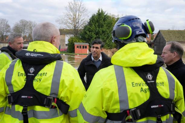
Flooding and transportation issues have already impacted parts of England. The Environment Agency reported that about 650 properties in Bedfordshire, Northamptonshire, and the home counties experienced flooding, but estimated that 8,200 properties were saved by protective measures.
As of Sunday evening, 32 flood warnings and 98 flood alerts were issued across England.
Mark Garratt of the Environment Agency urged the public to avoid driving through floodwaters, as even 30cm of flowing water can float a car. He also advised people to check for local flood risks and updates.
Higher pressure is expected by Tuesday night, bringing drier and sunnier conditions, though another low-pressure system may bring rain over the weekend.

