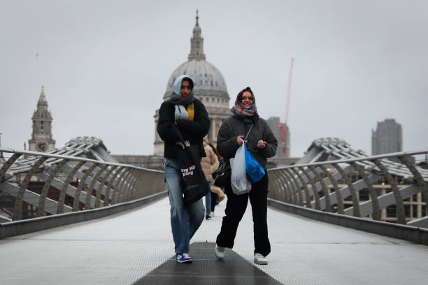
The UK is set to experience an unexpected spell of warm weather this weekend, following Storm Conall’s heavy rain and flooding.
According to the Met Office, temperatures are forecast to climb well above seasonal norms, creating a “topsy-turvy” weather pattern over the coming days.
Tom Morgan, a meteorologist for the Met Office, explained, “We’re going to see temperatures, five, six, seven degrees above average for late November, early December as we go through this weekend, but it will turn colder early next week.”
With highs ranging from 12 to 14°C across the country, the weekend will feel more like April than early winter. However, the unseasonable warmth will be fleeting.

By late Sunday, colder air is expected to begin spreading across Scotland, gradually moving southward and affecting the rest of the UK by Monday.
As the meteorological winter officially begins on December 1, Mr. Morgan noted that the conditions will initially defy expectations for the season.
He added, “Over Saturday and Sunday, temperatures are more typical of April maximum temperatures, but then by Monday and Tuesday, most parts of the UK will see more typical if not below-average temperatures once again.”
While the transition back to colder conditions is likely to occur smoothly, Mr. Morgan cautioned about the possibility of disruptive weather by midweek.
However, he emphasized that it is too early to provide details on the nature or extent of any disruption.
For now, the unusual warmth offers a brief respite from the harsh weather brought by Storm Conall.
Still, residents should prepare for a return to winter-like conditions as the new week begins.

