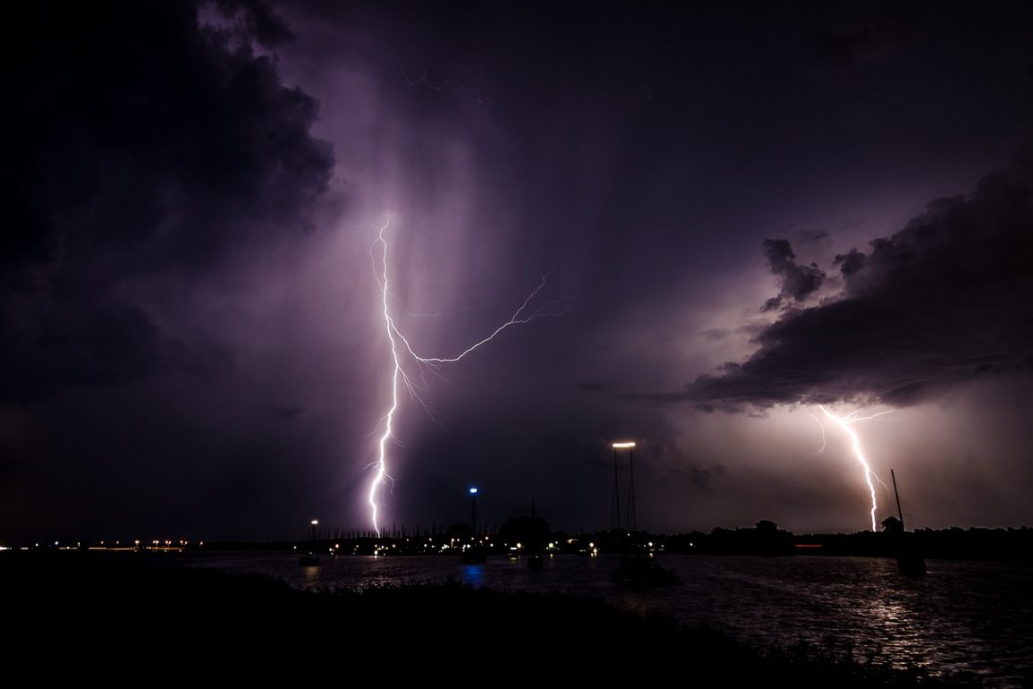
This week, two major weather systems are set to impact the lower 48 states, bringing strong winds, heavy snow, and severe storms through Thursday.
By Monday morning, nearly 20 million people were under wind alerts stretching from California to Arkansas, and about 10 million faced winter weather warnings across the West Coast, Rockies, and Upper Midwest.
The first storm is expected to develop across the Rockies and Four Corners region on Monday, producing mountain snow and wind gusts reaching 60 mph.
As it moves eastward on Tuesday, it will bring heavy rain to the central Plains and Midwest, with snowfall expected in the Upper Midwest. Minneapolis could see a few inches of snow late Tuesday into Wednesday.

The second, more intense storm will begin affecting the Rockies and Four Corners on Tuesday with snow, before intensifying and expanding eastward on Wednesday.
By Wednesday, the storm will spread snow from Denver into the central Plains and generate severe storms across parts of Oklahoma, Texas, Arkansas, Louisiana, Mississippi, and Tennessee. Cities like Dallas, Memphis, Little Rock, and Shreveport are at risk for damaging winds, isolated tornadoes, and large hail, affecting up to 8 million people.
On Thursday, snow will extend into the Midwest and Great Lakes, potentially impacting Des Moines, Madison, Milwaukee, and Chicago. Severe storms could affect a large area from Cleveland to Mobile, Alabama, including Cincinnati, Nashville, Birmingham, and Jackson.
Snowfall and storm details include:
- Denver: 1 to 5 inches of snow and gusty winds Tuesday night through Wednesday.
- Kansas City: Rain turning to snow with a dusting to a few inches from Wednesday night to Thursday noon.
- Des Moines: 2 to 4 inches of snow from Wednesday night through Thursday noon.
- Chicago: A light dusting to a couple of inches of snow from Wednesday night into Thursday.
Additionally, unseasonably warm temperatures, 15 to 25 degrees above average, could result in record highs across the Great Lakes to the Northeast. Cities like Green Bay, Cleveland, Paducah, and Boston may see record temperatures, with New York City and Washington, D.C., approaching 60 and 70 degrees, respectively.

