A historic rainfall event unfold in Fort Lauderdale this week, leaving a trail of devastation in its wake. On Wednesday morning, low pressure developed across the northern Gulf of Mexico, slowly lifting a warm front north across southern Florida, bringing moderate rainfall throughout the early afternoon. As the morning wore on, multiple slow-moving supercell thunderstorms began to develop, each following similar tracks across the area. The resulting deluge was nothing short of catastrophic, with Fort Lauderdale-Hollywood airport provisionally measuring a staggering 25.91 inches of rainfall during the 24-hour period ending 7am on Thursday.
Just as alarming was the speed at which the rain fell, with the bulk of it coming during a 12-hour period. This brought the total daily rainfall at the airport to an unprecedented 25.91 inches, shattering the previous daily record of 14.59 inches set back in 1979. The torrential downpour caused widespread flooding across a swath of south-eastern Broward County and north-eastern Miami-Dade County, leading to reports of stranded vehicles, inundated roads, and buildings. Miraculously, at the time of writing, no casualties had been reported.
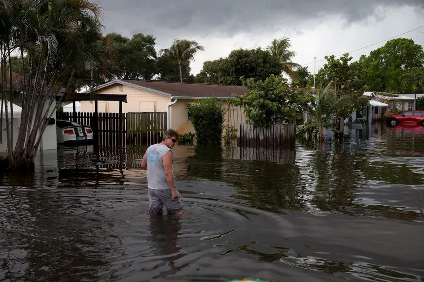
 Fort Lauderdale Devastated by Record-Breaking Rainfall
However, the flooding caused by the unprecedented rainfall had far-reaching consequences. Fort Lauderdale-Hollywood airport was forced to halt operations on Wednesday afternoon, resuming only early Friday morning. Undeterred by the previous day’s deluge, another wave of heavy rain rolled in on Thursday, further complicating efforts to recover from the disaster.
Meanwhile, halfway around the world, Severe Tropical Cyclone Ilsa was making landfall in Australia as a category 5 storm on Thursday night. For perspective, this is equivalent to a category 4 storm on the Saffir-Simpson hurricane wind scale used in the North Atlantic and the northern Pacific east of the dateline. Ilsa had begun its journey as a tropical low off the coast of Indonesia on April 5, slowly tracking south-west before developing into a tropical cyclone.

In the days that followed, Ilsa underwent rapid intensification, eventually becoming a category 5 storm on Wednesday. As it veered south-east, the storm finally made landfall east of Port Hedland in Australia. In the hours leading up to its arrival, a 180-mile-per-hour gust was registered on Bedout Island before the weather station stopped recording, a testament to the storm’s fury.