El Niño, a climate pattern known for causing warmer temperatures and extreme weather, has arrived and is expected to intensify over the winter, according to the National Oceanic and Atmospheric Administration (NOAA).
This pattern, which means “little boy” in Spanish, alongside its counterpart La Niña (“little girl”), influences global weather from the Pacific Ocean.
In the U.S., a moderate to strong El Niño typically brings wetter conditions from southern California to the Gulf Coast and drier weather to the Pacific Northwest and Ohio Valley. It also raises the likelihood of a warmer winter in the northern states.
Schmidt, director of NASA’s Goddard Institute for Space Studies, mentioned that while El Niño’s impact was anticipated, its magnitude is still uncertain. The initial advisory for this El Niño was issued on April 13.

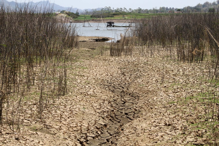
NOAA forecasts an 84% chance of a strong El Niño developing this winter. Globally, El Niño is expected to cause more drought and fires in Indonesia and Australia, and increased flooding in eastern South America.
The pattern could also elevate global temperatures, though it’s unlikely to cause a significant increase beyond 1.5 degrees Celsius in 2024. Schmidt noted that while El Niño can amplify climate change effects, its precise interaction with climate change remains unclear.
El Niño disrupts normal trade winds, pushing warm water eastward and shifting the Pacific jet stream southward. This results in drier, warmer conditions in northern U.S. and Canada, while the Gulf Coast experiences wetter conditions and potential flooding.
Conversely, La Niña brings stronger trade winds and shifts the jet stream northward, causing drought in the southern U.S. and heavy rains in the Pacific Northwest and Canada.

