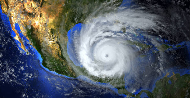
According to the National Oceanic and Atmospheric Administration (NOAA), record-high ocean temperatures could intensify this year’s hurricane season.
On Thursday, NOAA raised the probability of an above-normal Atlantic hurricane season to 60%, up from the 30% forecast in May. This revision also reduced the likelihood of a near-normal season from 40% to 25%.
The updated forecast, which spans the remainder of the hurricane season from June 1 to November 30, predicts 14 to 21 named storms with winds of 39 mph or more.
Among these, 6 to 11 could become hurricanes with 74 mph or greater winds, and 2 to 5 may develop into major hurricanes with winds exceeding 111 mph. This estimate incorporates the five named storms and one hurricane that have occurred so far.

A “normal” season typically includes 14 named storms, 7 hurricanes, and 3 major hurricanes. The peak of the hurricane season, from August to October, accounts for 90% of tropical storm activity, prompting NOAA’s mid-season forecast update.
The primary factors influencing the season’s intensity are the El Niño weather pattern and record-warm sea surface temperatures in the Atlantic.
El Niño tends to reduce storm activity in the Gulf of Mexico and the Western Caribbean, while warmer sea temperatures increase hurricane activity. June and July saw the warmest sea surface temperatures in the North Atlantic since 1950, exceeding normal levels by 2.2°F.
Given these conditions, NOAA’s updated outlook reflects a potentially active season, comparable to recent years but with some uncertainty due to the unusual combination of warm sea temperatures and a late developing El Niño.
While forecasts predict the number of storms, they do not specify landfall predictions, so it’s prudent to prepare for potential storms now. Visit Ready.gov and local emergency management sites for preparedness tips.

