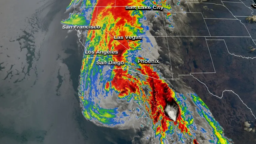
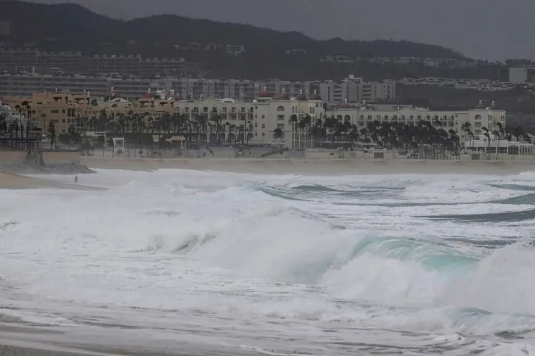
As Storm Hilary continues to batter California and the US southwest, the mystery surrounding its extraordinary appearance remains. In a year marked by extreme weather events in California and the US west, the tropical cyclone’s sudden appearance is nothing short of extraordinary. The last recorded tropical storm to make landfall in southern California dates back to 1939, according to the National Weather Service. Meteorologists believe only one hurricane-force tropical cyclone has struck the state, way back in 1858.
Hilary’s current form is equivalent to a category 4 hurricane, and its torrential rainfall has caused flash floods, knocked out power for tens of thousands, and left a trail of destruction in its wake. Climate scientists have long warned that rising global temperatures will fuel more intense tropical storms, and Hilary’s fury is a prime example of this. Warmer ocean temperatures allow for more powerful hurricanes, while warmer air temperatures can hold more water vapor and lead to even wetter storms.
However, storms of this kind along the US west coast are extremely rare, leaving researchers with limited data to draw upon. California’s geography, including its cold ocean temperatures, strong east-west winds, and downward flow of air, typically acts as a natural defense against hurricanes. But an unusual combination of weather patterns in the Pacific this year allowed Hilary to breach these defenses.

Record-high Pacific temperatures powered the storm, while a low-pressure area along the west coast and a high-pressure ridge in the central US played a role in drawing it northward, through the United States. As a result, the National Hurricane Center issued its first-ever tropical storm watch for southern California, and flood advisories remain in effect across the region.
The University of California, Los Angeles’ Daniel Swain, a climate scientist, notes that warmer oceans are indeed fuel for hurricanes. However, California’s coast is generally too cold to energize tropical storms. Swain also points out that while it’s possible that warmer temperatures in the eastern Pacific could lead to more such storms, California’s unique topography and wind conditions would still impede them from making landfall. In essence, such storms will remain a rare event in any foreseeable future.
While there is a consensus among researchers that California can expect more intense winter storms, heatwaves, and destructive wildfires due to global heating, there remains a lack of formal research on tropical cyclone hazards in a warming climate in the state. As Swain puts it, “if this were MythBusters, it might get stamped ‘plausible’ that climate change could increase the likelihood of events like this, but probably not to a very high degree.”

