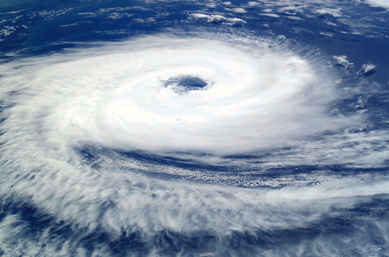
Residents in far north Queensland have been advised to seek shelter as Tropical Cyclone Jasper slowly makes landfall.
The cyclone, which has intensified to a category 2 system, is currently located 110 km off Cairns and 65 km southeast of Cooktown. It is bringing severe wind gusts and heavy rainfall to the region, particularly affecting areas around Wujal Wujal and Cape Tribulation.
Authorities have issued a shelter-in-place order for those between Wujal Wujal and Innisfail, including Cairns, urging residents to stay indoors and await further instructions.
Cyclone Jasper is forecasted to weaken as it progresses inland overnight. Early evacuations have been underway, with some trees already uprooted in Port Douglas due to strong winds.

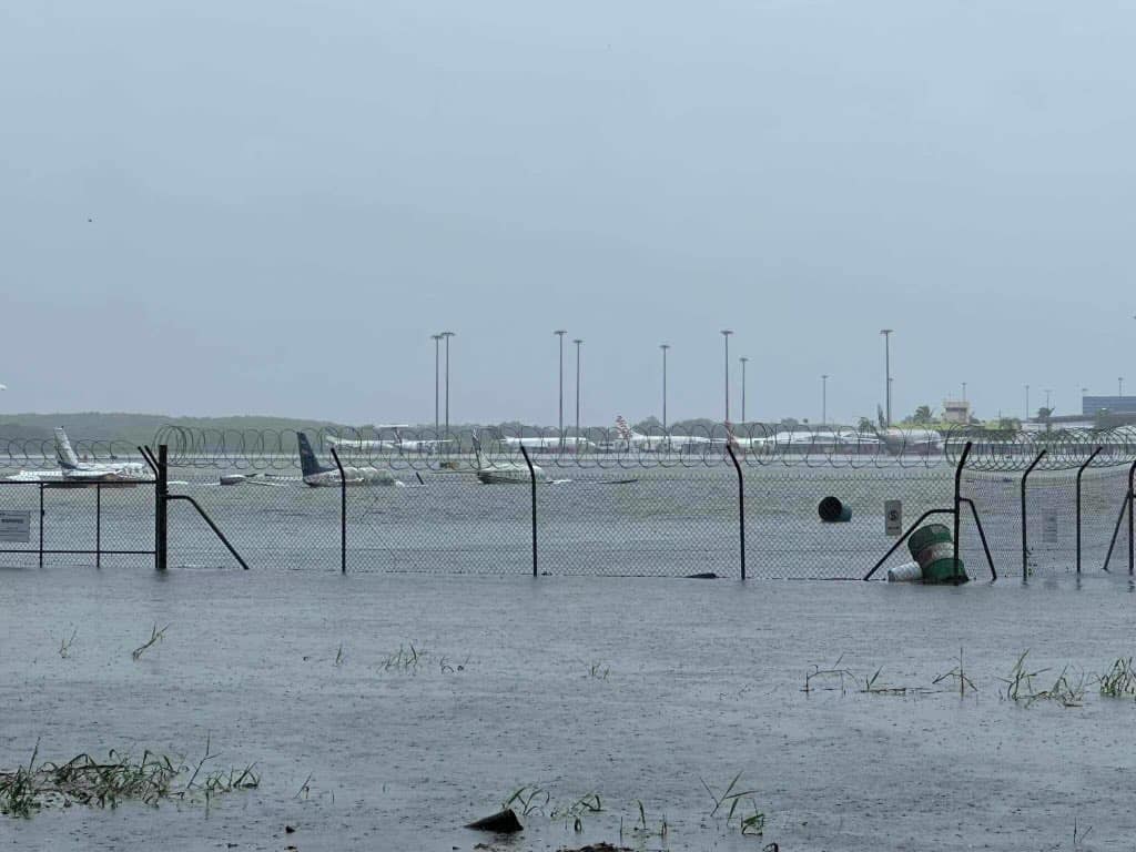
Flash flooding is anticipated, with up to 300 mm of rain expected in six hours and potentially 500 mm over 24 hours.
The cyclone has already caused widespread power outages, affecting over 17,000 homes and businesses, and led to the establishment of evacuation centers in Cairns, Port Douglas, and Cooktown. Emergency services have received over 120 assistance calls, and about 100 people have moved to these centers.
Despite its current strength, the Bureau of Meteorology has indicated that Jasper is unlikely to escalate to a category 3 cyclone. The cyclone is producing wind gusts of up to 140 km/h and sustained winds near its center of 100 km/h.
Residents from Cape Flattery to Cairns have been instructed to take cover in the safest parts of their buildings, away from windows, as emergency services cannot respond due to hazardous conditions.
Federal and state officials are closely monitoring the situation, with the army on standby to assist if needed. Jasper, an unusually early cyclone for an El Niño year, is expected to weaken as it crosses the Cape York Peninsula but may regain strength as it moves into the Gulf later in the week.

