As the week begins, much of the country is bracing itself for a soggy summer, with wet weather sweeping across Sydney and monsoonal rains swamping Darwin and north Queensland. The south-easterly flow moving off the water has brought moisture onto Sydney shores, condensing in the atmosphere as cloud and shower activity. Miriam Bradbury, senior meteorologist at the Bureau of Meteorology, notes that showers “did ramp up a little bit through the early hours of Monday morning,” describing it as a “wet night, but those falls were patchy.”
Heavy rainfall has moved across northern Sydney, with 151mm falling on Kurrajong Heights in the lower Blue Mountains in the 24 hours to 9am on Monday. Observatory Hill recorded 62mm, a significant drop compared to the surrounding areas. Brisk winds have also moved across the water on Sunday evening, adding to the gloomy weather.
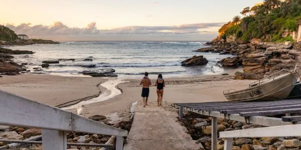
Meanwhile, athletes from Surf Lifesaving Australia found themselves in the midst of a dramatic rescue on Sunday evening. Participants who had just finished a surf ironman and ironwoman competition at Maroubra beach in Sydney jumped into action to rescue 25 swimmers who found themselves caught in a rip about 100 metres offshore. Using boards and rescue tubes, the group managed to stabilize the swimmers before inflatable rescue boats arrived to escort them to shore. According to Wayne Druery from Surf Lifesaving Australia, conditions can rapidly change, and it was “today, not only did these swimmers benefit from the great skills of patrolled lifesavers and lifeguards on the beach, but also [from] our elite ironmen and ironwomen.”
 Australia Soggy Summer
As the week progresses, south-easterly winds are expected to continue to be “a little bit strong at times” on Monday, easing into the afternoon. Slightly heavier showers are forecast to move through the city and to the Central Coast and Illawarra coast during the day, with the weather becoming lighter and more isolated in the afternoon. The week ahead for Sydney is showery, with heavier rain expected on Tuesday, bringing with it the risk of storms. By Friday, the wet weather is set to ease, with only a slight chance of showers along the coast on the weekend.
In contrast, northern Australia is bracing itself for a tropical low off the coast of Darwin and monsoonal rains in far north Queensland. Some areas south of Darwin could experience up to 500mm of rain between Sunday and Wednesday, with widespread falls elsewhere in the region totalling 200 to 300mm. A severe weather warning has been issued for the Top End, including Darwin and the Tiwi Islands, with damaging wind gusts and monsoon squalls also expected. Angus Hines, a senior meteorologist with the BoM, notes that the combination of the low-pressure area and predicted thunderstorms could lead to damaging winds, with speeds exceeding 90km/h. This could lead to flooding in areas where residents are still reeling from flash flooding in December caused by ex-Cyclone Jasper.
Flood watches have been issued for parts of the Northern Territory’s western Top End and areas to the south-west, west and north of Cairns, as totals of 100 to 200mm of rain and frequent widespread thunderstorms are forecast through the week. As the rainfall tracks across these river catchments, they may well respond with flood responses through the course of the next couple of days. With the region already experiencing heavy rainfall, residents are advised to stay vigilant and prepared for any potential flooding.