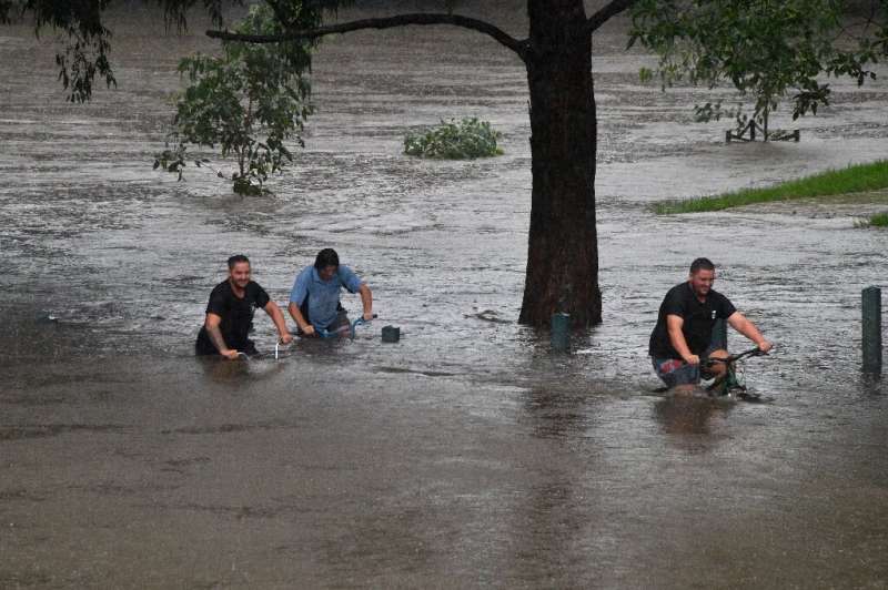
Queensland residents are bracing for the potential impact of a new cyclone as intense rain continues across northern Australia, prompting evacuations in the Northern Territory.
Around 40 people from Pigeon Hole, a settlement south of Darwin, were relocated on Thursday night, and another 50 from Daguragu were moved to Kalkarindji due to severe weather.
A monsoon trough has brought heavy rain to the territory, with Wadeye receiving 690mm in a week and strong winds causing damage.

Flash flooding is a concern south of Katherine, particularly in Tennant Creek, with authorities closely monitoring flood levels at Daly River. Road closures are in effect along the Victoria River and Buntine Highway.
To the east, a tropical low forming in the Coral Sea is projected to move towards Queensland’s coast by Sunday, potentially becoming a tropical cyclone by Monday.
The Bureau of Meteorology warns it could reach category three or higher, with a severe impact possible. While the exact landfall location remains uncertain, the cyclone might affect Queensland from late Tuesday onward.
This new threat comes as Queensland’s far north continues its recovery from record flooding caused by Cyclone Jasper in December. The tropical low is expected to move slowly across the Northern Territory and into Western Australia next week.
Over the weekend, the system is likely to shift westward and gain momentum. Meanwhile, Queensland and northeastern New South Wales are experiencing warm, humid conditions with severe storms bringing heavy rain, damaging winds, and flash flooding risks.
Around 150 properties near Grafton were isolated, though the State Emergency Service is working to deliver supplies. Sydney also saw significant rainfall, with 49mm recorded at Penrith and nearly 40mm in the city center.

