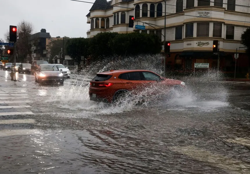
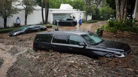
As the latest winter storm system moved through California on Monday, forecasters warned of potentially severe weather conditions, including flooding, hail, strong winds, and brief tornadoes. The storm, which began as a mild cold front on Saturday, strengthened on Sunday and continued to gain momentum on Monday.
According to meteorologist Brayden Murdock with the National Weather Service office in San Francisco, the winds are intensifying and the rains will soon follow. California’s central coast is at risk of “significant flooding,” with up to 5 inches of rain predicted for many areas. Isolated rain totals of 10 inches are possible in the Santa Lucia and Santa Ynez mountain ranges as the storm heads toward greater Los Angeles.
In the state capital, thunderstorms on Monday could bring brief tornadoes, large amounts of small hail, heavy rain, lightning, and gusty winds. Residents in the region, including Sacramento, Chico, Yuba City, Stockton, and Modesto, are advised to pay close attention to the weather.
Meanwhile, a man was rescued along a creek in El Dorado Hills, east of Sacramento, after being trapped in a tree as floodwaters rose. The man, who had been camping in the area, was rescued by authorities.

The storm is expected to move through the state quicker than the devastating atmospheric river that hit California earlier in February, causing widespread damage and loss of life. While this storm does not have the same characteristics as an atmospheric river, it still has the potential to cause problems, including flash flooding and power outages.
Flood watches and warnings have been issued in coastal and mountain areas throughout the state, with forecasters urging motorists to avoid mountain routes. Several feet of snow are possible at elevations above 6,800 feet across the Sierra Nevada, with the weather service issuing a backcountry avalanche watch for the greater Lake Tahoe area and the eastern Sierra in Inyo and Mono counties.
The California governor’s office of emergency services has activated its operations center and positioned personnel and equipment in areas most at risk, in preparation for the severe weather.

