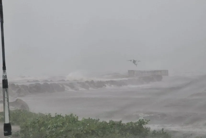
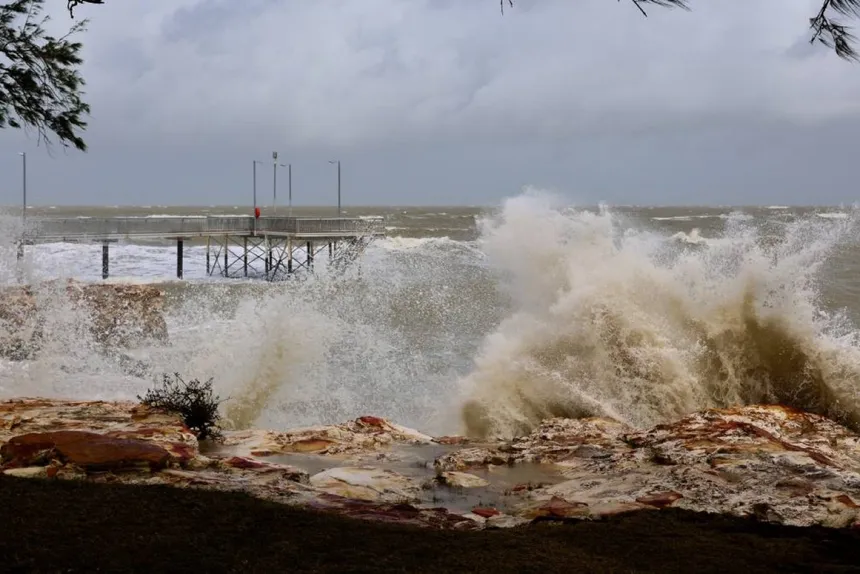
As severe Tropical Cyclone Megan approaches, the Top End communities are bracing themselves for the impending arrival of destructive wind gusts, heavy rainfall, and potential flooding. The cyclone intensified to category three on Sunday and is expected to remain at that strength as it crosses the coast on Monday. According to Miriam Bradbury from the Bureau of Meteorology, there is a fractional chance of further intensification, but the official forecast is that it will remain at category three.
Currently, the system is situated 170 kilometers south-southeast of Alyangula and 135 kilometers northeast of Borroloola in the Northern Territory, moving slowly with wind gusts of up to 185 kilometers per hour. The Bureau of Meteorology warns that the system will cross the coast between Nathan River and the Northern Territory/Queensland border on Monday evening, weakening into a tropical low as it moves through the NT.
The warning area spans hundreds of kilometers from Alyangula on Groote Eylandt to Mornington Island in Queensland, extending inland to Borroloola, McArthur River Mine, and Robinson River. The cyclone began impacting the southern Gulf of Carpentaria coast about 8 pm ACST on Sunday.

Residents in the affected areas are advised to take necessary precautions, with Murray Watt, Australia’s emergency management minister, warning of the potential for serious flooding in Borroloola, a remote fishing town on the banks of the McArthur River. The federal government has approved a request for the Australian Defence Force to assist with evacuations, with up to 800 people potentially being evacuated to Darwin to keep them safe from the cyclone.
The cyclone’s formation over the Gulf of Carpentaria, east of Groote Eylandt, on Saturday afternoon has raised concerns about the potential for widespread heavy rainfall, with Shenagh Gamble of the BoM predicting totals of 150 to 200mm, and possibly even 300 or 400mm or more in the core of the system. Additionally, a “very dangerous storm tide” is associated with the system, with water levels expected to exceed the highest tide of the year.
As the cyclone approaches, authorities are working to ensure the safety of remote local communities, with some towns on Groote Eylandt already blocked off and isolated to emergency services. The incident controller and superintendent, Sonia Kennon, emphasized that the safety of residents is the utmost importance, with ongoing support to be decided in the coming days.

