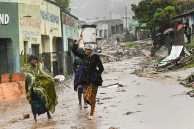
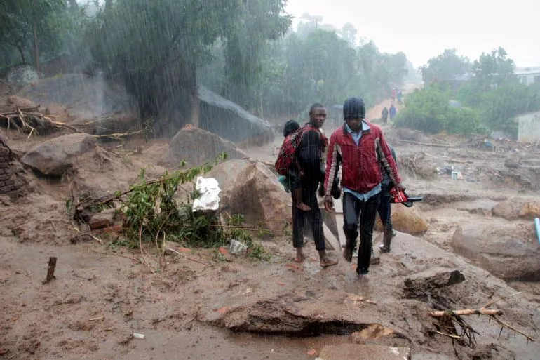
Cyclone Freddy, upgraded to a Very Intense Tropical Cyclone on February 19th, is forecast to make landfall in Madagascar this week, bringing with it a high likelihood of fatalities. The previous tropical cyclone to affect the country was Cheneso, which struck just a month ago and resulted in dozens of deaths. Freddy is expected to inflict significantly more damage, with estimates suggesting winds reaching 140mph, comfortably within category 4 cyclone intensity.
Despite forecasts of a slight reduction in intensity over the coming days, Freddy is expected to make landfall in Madagascar with gusts around 100mph, classifying it as a category 2 cyclone. The combination of destructive winds and significant rainfall, which could reach 100-200mm, will pose a severe risk of deadly landslides. Freddy has been journeying across the Indian Ocean for several weeks, having developed into a category 1 cyclone on February 6th, just south of Indonesia. Since then, it has traveled almost 4,000 miles across the ocean in just 14 days, now situated about 1,000 miles off the east coast of Madagascar.

This is not the first time the Indian Ocean has seen a significant cyclone. Only two other cyclones, Eline and Hudah, had previously crossed the ocean in 2000. Freddy’s long journey is a long way off from the farthest travelled and longest-lasting. In 1994, Hurricane John, also known as Typhoon John, tracked an astonishing 7,000 miles in 31 days, starting in the eastern Pacific and reaching so far west that it was also considered a typhoon due to its existence in both the east and west basins of the Pacific Ocean.
Once Freddy makes landfall, its interaction with the terrain and reduction in moisture will cause it to weaken fairly quickly, with winds reducing to around 50mph by the time the cyclone clears the western side of Madagascar. As it rapidly returns to open water, Freddy is expected to regain momentum, making landfall in mainland Africa, in Mozambique, by February 23rd as a tropical storm.

