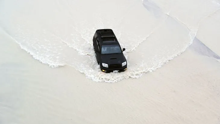
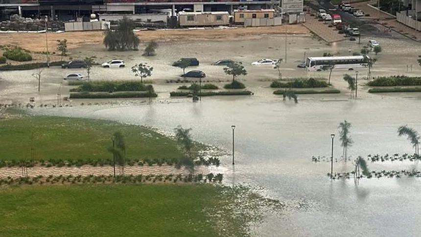
The recent record flooding in the United Arab Emirates and Oman was made worse by a combination of fossil fuels and concrete, according to a study by the World Weather Attribution team. The team found that human-caused climate disruption led to 10-40% heavier downpours in the region during El Niño years, while inadequate natural drainage turned roads into rivers.
At least 23 people lost their lives in the floodwaters, including 10 children who were on a school bus that was swept away. The Arabian peninsula was deluged by extreme rainfall on April 16-17, with Dubai receiving over 14cm of rain in just 24 hours. This was the heaviest downpour since records began in 1949.
The flooding caused severe damage to buildings and cars, power outages, and school closures. Over 1,000 flights were cancelled, leading to several days of delays, after the runway at Dubai airport became flooded. The airport is the world’s busiest international airport.
Initially, there was speculation that artificial weather modification, including cloud-seeding technology, might have caused the severe weather. However, the study concluded that cloud seeding had no significant influence in the event. The UAE’s National Center of Meteorology also denied that it engaged in any such operation on the day of the downpour.
While artificial weather modification was ruled out, human influence worsened the impact in other ways. The study found that global heating, caused by the burning of fossil fuels, was the most likely explanation for the record downpour. The region is historically prone to intense rain and flash flooding every few years, particularly during El Niño phases.

Climate disruption is making El Niño events more intense, by a factor of 10-40%, in this region. A warmer atmosphere can hold more moisture, and changing circulation patterns in a warmer, more disrupted climate can bring fiercer rain to some regions. Human alterations of the terrain have also added to the risks faced by people in low-lying areas.
Eight out of 10 people in Oman and the UAE live in flood-prone neighborhoods and many drivers commute through high-risk areas. Despite advance warnings by meteorological agencies, many people were trapped. NASA has released satellite images that reveal the extent of the flooding in the normally dry desert region.
The image shows heavy inundation in industrial areas of Jebel Ali, just south of Dubai port, and near the green resorts and parks south of Palm Jebel Ali, a town 20 miles southwest of the city. Parts of Abu Dhabi, the UAE’s capital, were also underwater until April 19.
“We have to stop burning fossil fuels and we have to redesign our cities,” said Friederike Otto, a senior lecturer in climate science at Imperial College London. “We must stop putting concrete everywhere. The reason for the fatalities is that there are almost no permeable surfaces at all, so the road turned into a river in a very short time. This builds a death trap.”

