Tuesday has been a rainy day for most of Iowa, with torrential rain early in some areas and showers continuing throughout the day. Strong to severe storms are expected to develop this afternoon, with the highest risk in the southern half of the state, including Des Moines.
Here’s what you need to know:
Highs will range from the 70s to low 80s, with scattered rainfall and thunderstorms lasting through mid-afternoon. A boundary moving steadily through the state will ignite more storms by mid-to-late afternoon, particularly south of I-80.
By 3-4 p.m., these storms will intensify and move east across the southern half of the state. The area of enhanced risk of severe storms — Level 3 of 5 — has expanded Tuesday afternoon to include central Iowa, encompassing Des Moines, and extending to counties south and east.
Northern parts of Iowa also face the chance of storms Tuesday evening, though the severe potential is somewhat lower.
The most intense storms will have access to substantial energy and wind shear. The main threats will be damaging winds and large hail, with tornadoes also possible.
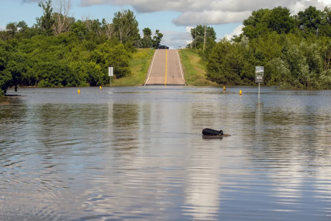
 Iowa Floodwaters (Photo: Jake Hoffner)
Low-level winds are expected to be somewhat weak to sustain tornadoes, but enough factors are present for some spin-ups.
The potential for tornadoes will partly depend on whether morning storms leave behind any boundaries to create localized spin areas, and if any evening storms can develop and remain isolated before merging into a line.
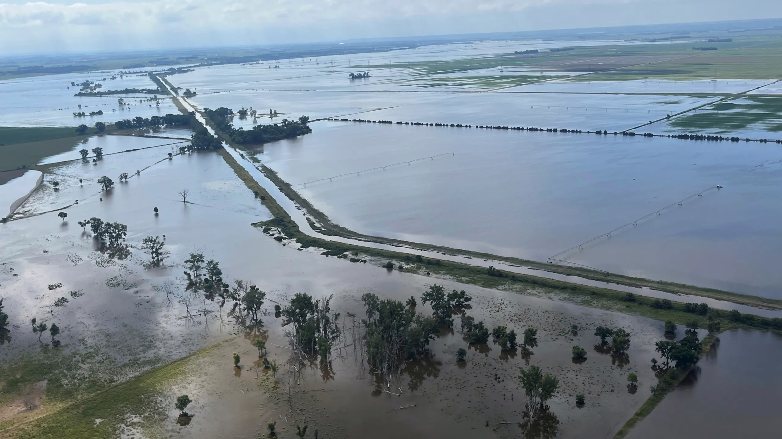
More than 60 counties are under a flood watch Tuesday due to additional water being added to already saturated ground and high rivers. Counties along the far western and northern borders of Iowa are excluded.

To ensure you receive severe weather alerts on your mobile phone, check your settings to enable “Government Alerts” or “Emergency Alert Messages,” as recommended by the U.S. Homeland Security Department.
Heavy thunderstorms on Tuesday morning prompted a flash flood warning for parts of Adair, Adams, and Cass counties until 10:15 a.m.
The National Weather Service reported that 2-4 inches of rain had fallen in these areas Tuesday morning, with about another half-inch possible.
“Turn around, don’t drown when encountering flooded roads,” the weather service advised, noting that flash flooding is expected on roadways, small creeks and streams, and other low-lying areas. “Most flood deaths occur in vehicles.”