An intensifying low-pressure system off Australia’s southeast coast is set to bring frigid temperatures and severe weather conditions to large parts of the country’s southern regions.
The Bureau of Meteorology (BoM) has been closely monitoring the system, which is expected to move from the New South Wales (NSW) coast towards Tasmania, gaining strength as it travels.
On Saturday, the system began generating dangerous surf and swell conditions along the NSW coast. As it continues its path, the most severe impacts are expected late Sunday, with strong winds, flash flooding, and rising rivers anticipated, particularly in Tasmania.
The BoM warns that damaging winds and heavy rainfall could extend into Victoria on Sunday and Monday, creating hazardous conditions across the region.

Senior meteorologist Miriam Bradbury explained that increasing winds are pulling cold air from the Southern Ocean and Antarctica, with the intensifying low-pressure system giving this cold air momentum.
A high-pressure system over the Great Australian Bight is combined with the low, creating a powerful squeeze effect that is funneling these winds into the country’s southeast.
Forecast maximum temperatures for Sunday and Monday in Melbourne, Hobart, and Canberra are predicted to remain at or below 13°C, with Canberra expected to drop to -1°C overnight.
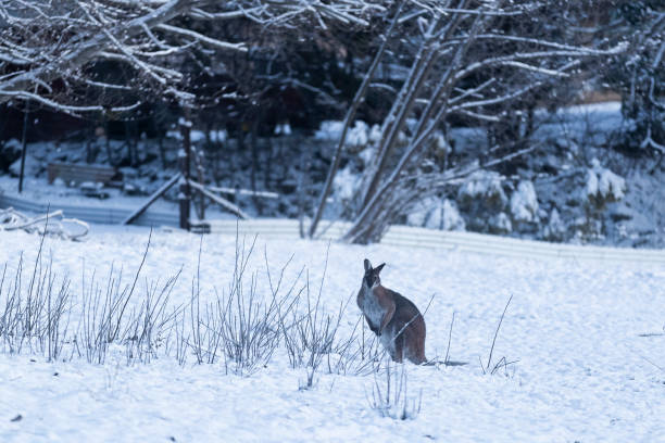
Snow is likely at altitudes as low as 800 meters in southern Tasmania and 1000 meters in the alpine regions of Victoria and NSW, with accumulations of up to 20 cm in some areas.
In Tasmania, graziers have been warned of the risk to sheep and lambs exposed to the severe weather, particularly in the east coast, southeast, and midlands districts. With river catchments already saturated, the expected heavy rains could quickly lead to flooding in central, eastern, and southeastern Tasmania, including Hobart.

