
Southern and eastern Europe will endure a heatwave for most of this week, with daytime temperatures across the Balkans reaching the high 30s to low 40s Celsius, about 7°C above the seasonal average. Night-time temperatures will remain high, often staying in the 20s Celsius.
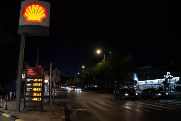
In urban areas like Athens, Greece, night-time temperatures are expected to remain uncomfortably above 30°C due to the urban heat island (UHI) effect.
This phenomenon occurs when urban areas retain heat from the sun longer due to heat-absorbing materials and reduced vegetation, raising health risks and increasing energy demands.
National weather services across several countries have issued heat warnings and advisories. The intense heat is predicted to ease by the end of the week, with thunderstorms and cooler conditions expected in the Balkans by the weekend.
 The urban heat island effect raises Athen’s night-time temperatures above 30°C, increasing health risks.
Officials are also concerned about a heightened wildfire risk due to the extended dry and warm conditions combined with low humidity.
Last week, Albania requested EU assistance to combat wildfires in Dropull, located about 250km south of Tirana. Greece and other parts of the Balkans and Eastern Europe also experienced numerous wildfires over the weekend.
Greek officials have reported that this summer presents the highest wildfire risk in 20 years, following a mild, dry winter and spring that have made vegetation highly flammable.

Prolonged dry conditions have led to critically low water reservoir levels, potentially resulting in water restrictions, particularly on some Greek islands during the peak tourism season.
The early formation of storms like Alberto, Beryl, and Chris was influenced by warm waters and a lack of dry air. However, since Beryl’s path through the Caribbean and the Gulf of Mexico, the Atlantic has been relatively calm.
Dry Saharan air has reduced tropical weather activity by inhibiting the development of tropical disturbances and cyclones, a trend expected to continue over the next few weeks.