
A significant cold front is making its way across the south-east coast and South Australia. Expect a mix of bitter winds, rain, and potential snow as the weekend unfolds.
The front promises strong, gusty winds, heavy showers, and even local thunderstorms. High tides will also be unusually strong, so be cautious near the coast.
According to the Bureau of Meteorology, areas like Adelaide, Yorke Peninsula, and Kangaroo Island are set to experience some of the windiest conditions in recent memory.
Winds will be gusty and could potentially cause damage. In Adelaide and the Mount Lofty Ranges, be prepared for particularly harsh conditions.
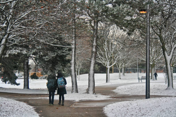 Expect up to 60cm of snow at major ski resorts by Monday morning.
In the snowy regions, the cold front could bring the heaviest snowfall of the year. Ski resorts, including Hotham, Falls Creek, Thredbo, and Perisher, are expected to see significant snow accumulation over the weekend. WeatherZone predicts between 30cm and 60cm of snow by Monday morning.
However, the combination of strong winds and snow might make skiing and snowboarding conditions quite unpleasant, with lifts likely to be closed or on wind hold.

In Victoria, recent rains have already caused some flooding, so keep an eye on the Bureau’s updates. Rivers and creeks could rise quickly due to the ongoing wet conditions.
Snowfall is also possible in central Victoria, the Grampians, and even Ballarat, with central and northern tablelands in NSW seeing flurries.
Stay updated with the latest weather warnings and take necessary precautions if you’re traveling or engaging in outdoor activities. Enjoy the snowy weekend but stay safe!