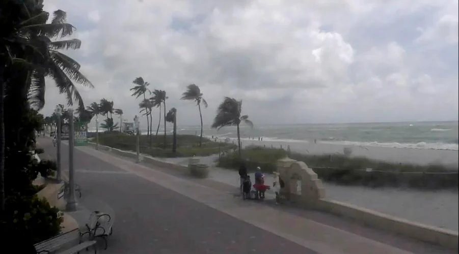
Tropical Storm Debby has prompted both a tornado and tropical storm watch for the tri-county region as it heads northeast from off the Georgia coast toward Cape Fear. Early Tuesday, Debby was situated around 50 miles southwest of Savannah and 130 miles from Charleston, South Carolina.
The storm is advancing at a sluggish pace of 7 miles per hour, with its storm-force winds extending 205 miles from the center. The forecast indicates that Debby will move offshore from Georgia and make landfall over South Carolina by Thursday.
The National Weather Service in Wilmington forecasts that Debby will slowly continue northward, impacting the Cape Fear region by Thursday or Friday. As the storm approaches, winds are expected to increase throughout Wednesday night into Thursday.
A tornado watch is in effect until 5 p.m. on Tuesday for several counties, including Bladen, New Hanover, Brunswick, Pender, and Columbus, while a tropical storm watch is in place for coastal areas like Carolina and Wrightsville beaches.

Rainfall from Debby poses a significant concern, with the potential for up to 20 inches in some areas, although most places will likely see between 10 to 15 inches. The storm will also bring a storm surge of 2 feet above normal levels in low-lying areas, with Surf City possibly experiencing up to 3 feet of surge. Other regions such as Calabash, Southport, and Holden Beach are under a storm surge watch with the possibility of 4 feet of water rise.
The entire region is now at an extreme risk for flash flooding due to Debby’s expected heavy rains, exacerbated by pre-existing saturated soil. This condition increases the likelihood of fallen trees, power outages, and damaged roadways. Motorists are advised to avoid driving during the storm, as even 6 inches of water can cause vehicles to lose control or stall.
In response to the storm’s threat, Governor Roy Cooper declared a state of emergency on Monday evening to address potential life-threatening flooding. This declaration facilitates quicker response from the North Carolina Department of Transportation and the Department of Public Safety to manage power outages, ensure critical supplies, and support emergency transportation needs.
The NCDOT has mobilized over 2,000 employees and equipped them with essential tools and resources, including chainsaws, trucks, backhoes, and barricades, to handle the impact of the storm effectively.

