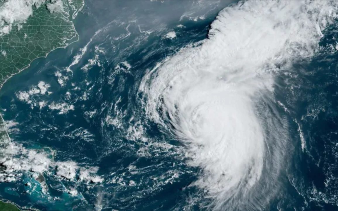
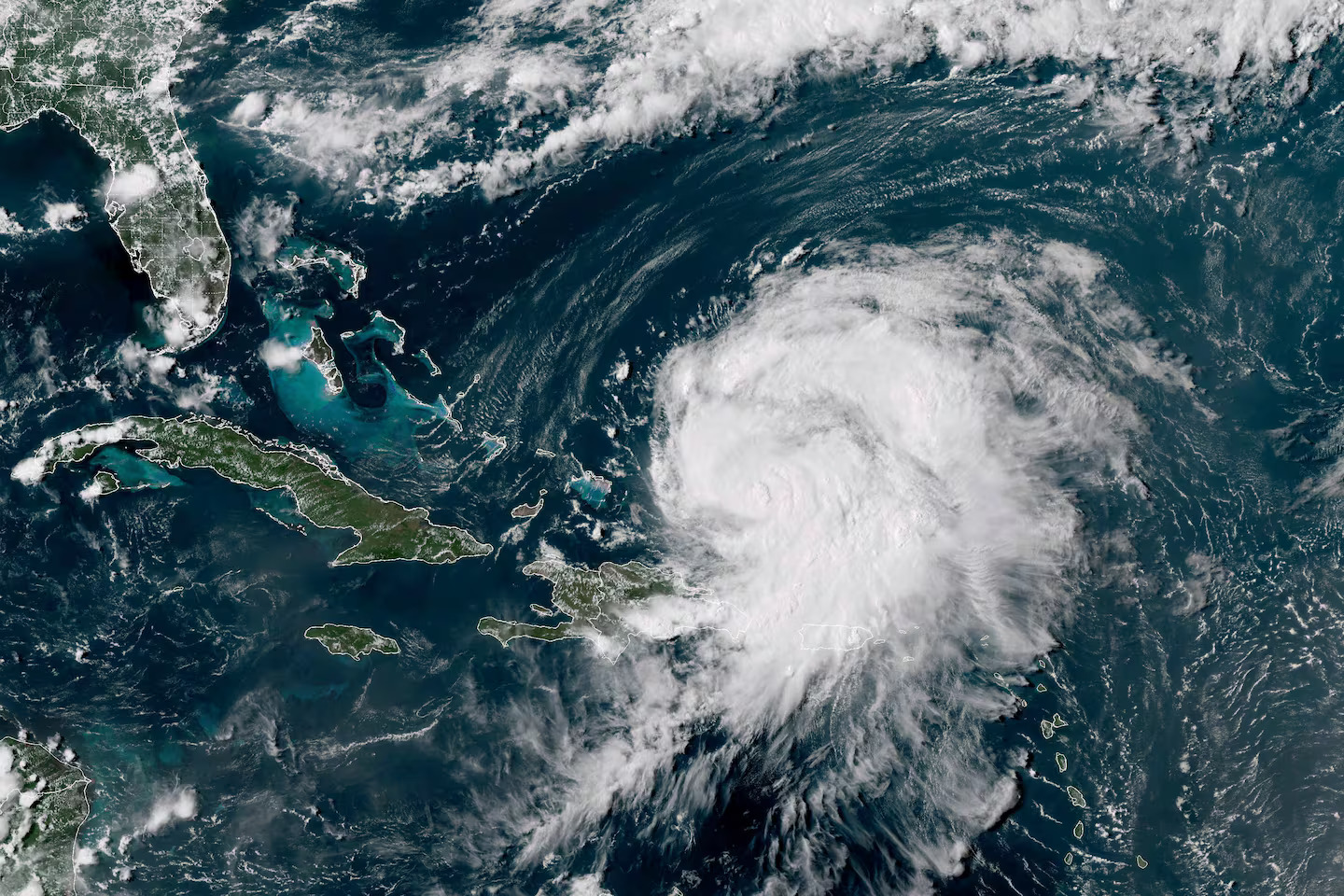
Hurricane Ernesto, the third hurricane of the season, has wreaked havoc by causing severe flooding and widespread power outages across Puerto Rico before turning north towards Bermuda. This early arrival is unusual, as the third hurricane of the Atlantic season typically forms in early September, yet Ernesto formed in early August.
By this time, the season had already produced about a third of the usual activity, with nearly 90% of the season still remaining, raising concerns about what might lie ahead.
Experts are warning that Ernesto is a troubling sign of what to expect as climate change continues to intensify. The Atlantic hurricane season was predicted to be exceptionally active this year, with five major hurricanes and 21 named storms due to persistently warm ocean temperatures.
In July, ocean surface temperatures in the region were nearly 3 degrees Fahrenheit higher than average, providing the perfect conditions for hurricanes to grow stronger. Hurricanes feed off warm ocean water, using it as fuel to accelerate and intensify.
Hurricanes are formed when warm water evaporates, leading to the formation of clouds, heat release, and wind circulation. Factors like high humidity and low wind shear also help in hurricane formation and intensification.
 Hurricane Ernesto’s Early Formation Signals Troubling Future Amid Intensifying Climate Change
Although El Niño typically increases wind shear, slowing hurricanes, current neutral conditions have left room for storm development. Warm ocean temperatures alone aren’t enough to create a hurricane, but they are a critical factor in their intensification. Ernesto has thrived on unusually warm waters, driven in part by climate change, similar to previous hurricanes like Beryl, which devastated Texas in July.

One significant danger posed by warming ocean temperatures is the phenomenon of rapid intensification, where hurricanes dramatically increase in strength in a short time. Hurricane Beryl rapidly intensified on its way to Texas, becoming a Category 5 storm and breaking records for how quickly it gained strength.
This trend is concerning, as it leaves coastal areas with less time to prepare for stronger-than-anticipated storms. While Ernesto has not undergone rapid intensification, it remains a dangerous storm as it approaches Bermuda, though it may weaken slightly due to unfavorable atmospheric conditions.
Looking ahead, scientists expect the Atlantic to continue fueling hurricanes as the peak of the season approaches in September. With the hurricane season lasting until November, the outlook for the remainder of 2024 remains alarming. Forecasters predict that only 15-20% of the season’s total activity has occurred, indicating that more hurricanes and potentially destructive storms are likely on the way.