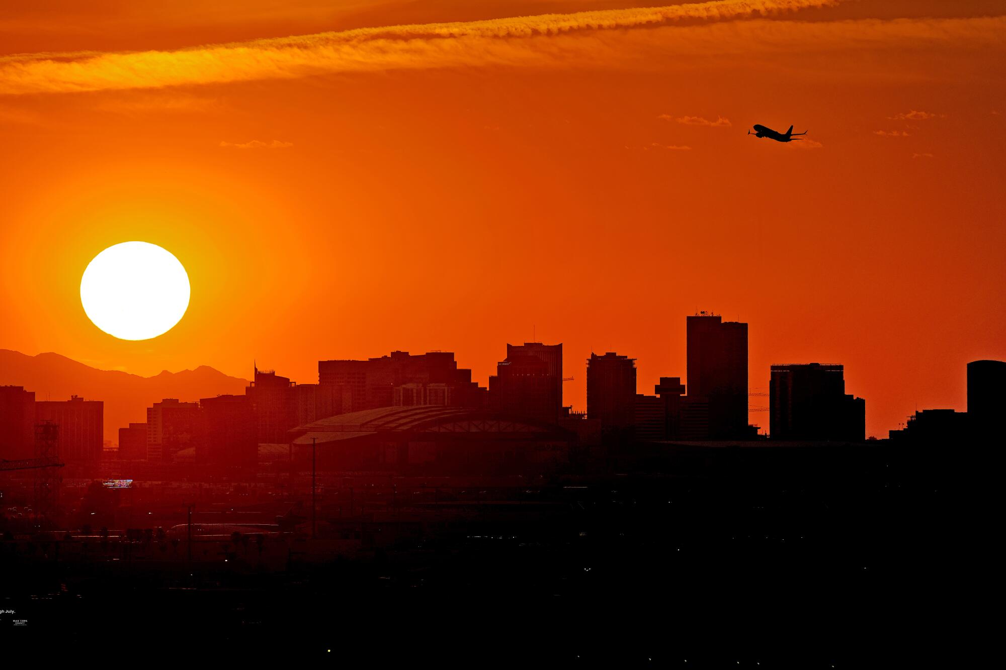
A significant heat wave is expected to bring some of the hottest weather of the year to the Los Angeles area, as it spreads from California through Nevada and Arizona to Oregon, Washington, and Idaho.
By midweek, a strong high-pressure system will settle over California and persist into the weekend, with its center positioned over Southern California, Nevada, western Arizona, and southwestern Utah.
This high-pressure setup will create offshore breezes that will push the warm air toward the coast. “September is traditionally one of the hotter months of the year in Los Angeles”.
Zehr elaborated that Southern California typically cools down from summer heat more slowly compared to areas further north.
Additionally, Pacific Ocean temperatures are higher following the long summer days, which reduces the temperature difference between land and sea and diminishes the marine influence.
“Currently, Los Angeles is set to experience its longest stretch of heat this year,” Zehr said. “In downtown L.A., temperatures are expected to stay at or above 90 degrees for six days.
Historically, every day in September has a record high of at least 100 degrees, with the highest September record being 113 degrees on September 27, 2010, which is also the all-time record for downtown Los Angeles.”
“There is a possibility that temperatures in downtown L.A. could reach 100 degrees on Thursday and Friday,” added AccuWeather Senior Meteorologist Dave Houk.
Temperatures across most areas are expected to exceed historical averages by 10-20 degrees Fahrenheit, with coastal regions being at least 5 degrees above average.
Along the Southern California coast, highs are forecasted to be in the upper 80s to mid-90s, while interior deserts may see highs ranging from the low 100s to 110s.
The National Weather Service has issued excessive heat warnings, which will extend from the San Fernando Valley throughout Southern California starting Wednesday and remain in effect until Friday evening.
The surge in heat and energy demands in major population centers such as Los Angeles and San Diego could potentially lead to rolling blackouts.
Heat accumulation in urban areas poses risks for those without air conditioning. By the time inner cities cool down in the early morning, the sun begins to rise and heat up the environment again.
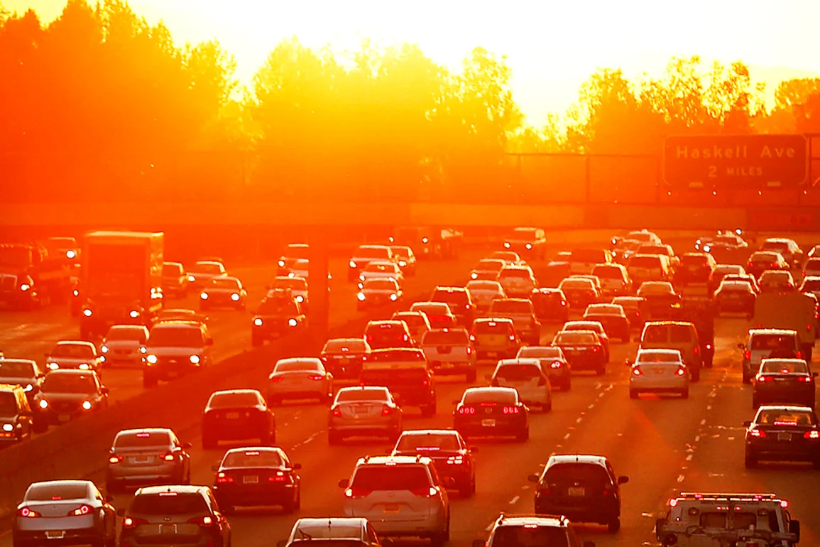
 Heat Wave in LA (Photo: Matt York)
“Nighttime temperatures will remain warm as well, with many areas experiencing lows in the 70s; the warmest spots may not dip below 80 degrees. Additionally, the coming days will also bring a bit of humidity, which can make it feel even hotter,” Zehr said.
This heat wave in the interior West will not be as severe as the one experienced in July for much of the region.
“Phoenix will experience temperatures similar to those from July, but they will not be as extreme as in the Central Valley of California and the deserts,” Zehr said.
In July, Las Vegas and Redding, California, set all-time high temperature records. Las Vegas reached 120 degrees on July 7, while Redding hit 119 degrees on July 6.
Phoenix endured 13 consecutive days of highs at or above 110 degrees and a total of 25 days in July with temperatures reaching 110 or more, with the highest temperature being 118 degrees.
“The Northwest is the most likely part of the West to see daily temperature records, as it typically cools down more quickly in September and is more susceptible to outbreaks of polar air compared to the Southwest,” Zehr said. “Parts of the Willamette Valley will experience triple-digit heat.”
Portland, Oregon, may not reach its record high of 104 degrees set on July 9 but could hit 100 degrees for the first time since then. The July heat wave resulted in three consecutive days of triple-digit temperatures, with forecasts indicating highs in the 90s from Tuesday to Saturday.
Records dating back to the 1950s could be challenged, with Thursday’s forecast high near 100 potentially surpassing the 93-degree record set in 1987.
The increasing temperatures and dried-out brush heighten the risk of wildfires. People are advised to exercise extreme caution with outdoor power equipment and open flames.
Driving through high brush can also start a fire, as the exhaust system of a fully warmed-up vehicle is hot enough to ignite contact with the brush.
By the weekend, the strong high-pressure system is expected to weaken and shift further inland as a storm from the Gulf of Alaska moves southeastward.
As the upper atmosphere cools more rapidly than the surface, thunderstorms may develop and become severe in coastal areas of the Northwest on Saturday, Houk noted. Any lightning without significant rainfall could ignite new wildfires.
With the high-pressure system shifting inland, temperatures are anticipated to decrease for the Pacific Coast states later this weekend.