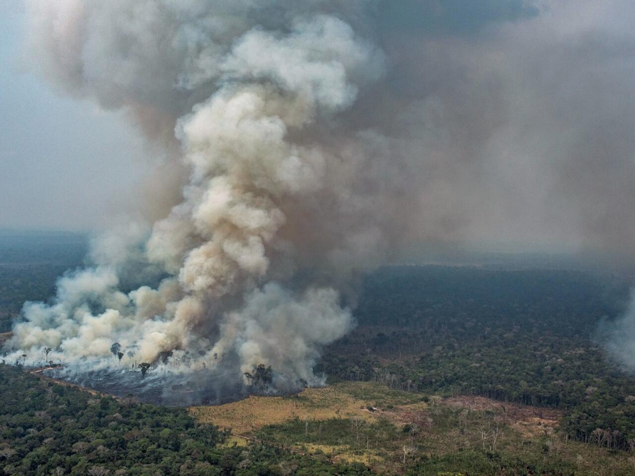
Throughout August and early September 2024, intense fires raging across several South American countries blanketed large areas of the continent in smoke. In Brazil and Bolivia, fire activity surged to levels unseen since 2010, fueled by a prolonged drought that left landscapes severely dry.
NASA’s EPIC (Earth Polychromatic Imaging Camera) on the DSCOVR (Deep Space Climate Observatory) satellite, located about 1 million miles (1.6 million kilometers) from Earth, captured an image of the smoke on September 3, 2024, as it billowed from these widespread blazes.
In Brazil, smoke from the fires swept over the capital city in mid-August and early September.
São Paulo, the nation’s largest city, experienced several days of smog-filled skies, with air quality levels deemed unhealthy for sensitive groups. The thick smoke disrupted flights and led to school closures, reported The Guardian.
This year’s fire season in the southern Amazon, which typically intensifies in August and peaks during September and October, has been particularly severe.
Data from the Copernicus Atmosphere Monitoring Service (CAMS), a component of the European Union’s space program, shows that fire emissions in Bolivia and Brazil’s Amazonas and Mato Grosso do Sul states have been exceptionally high.
CAMS tracks near-real-time wildfire emissions using its Global Fire Assimilation System (GFAS), which integrates observations from NASA’s Aqua and Terra satellites’ MODIS (Moderate Resolution Imaging Spectroradiometer) sensors.
Compared to the past 21 years, these regions have recorded their highest emissions to date, releasing 44, 22, and 13 million metric tons of carbon, respectively.
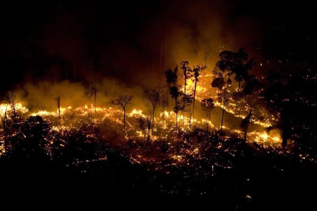
 Amazon Fires (Photo: Victor Moriyama)
The Pantanal region, which spans the Brazil-Bolivia border and is home to one of the world’s largest tropical wetlands, has been particularly devastated. Fires began in May and continued relentlessly through August.
Brazil’s National Institute for Space Research (INPE) reported a record number of fire detections in the biome in June 2024, and the fires have persisted at increased levels.
The false-color image above, captured by the Operational Land Imager (OLI) on Landsat 8, shows fires near Ascensión de Guarayos in Bolivia’s Santa Cruz state on September 3, 2024.

The image uses near- and short-wave infrared bands to penetrate smoke and highlight burn scars (brown) from several fires. Unburned vegetation appears green, while active fires are shown in orange.
By September 6, over 10 million hectares of Bolivia—roughly 9% of the country’s total land area—had burned.
According to Mark Parrington, CAMS senior scientist with the European Centre for Medium-Range Weather Forecasts (ECMWF), fires in Santa Cruz were responsible for 33 million metric tons of the 42 million metric tons of carbon emissions in Bolivia from May to August.
A severe lack of rainfall has gripped large parts of South America over the past three months. ECMWF classified much of the central and northern regions of the continent as experiencing “exceptional drought”—the highest possible drought ranking.
Brazil’s Natural Disaster Monitoring and Alerts Center attributed the drought to several factors, including altered rainfall patterns due to El Niño, increased temperatures from climate change, and decreased humidity caused by deforestation.