At 27 years old, Mr. Jaiswal has turned his childhood passion for mapping into a professional career. Recently, he undertook a significant project that involved mapping a portion of the Sundarbans, the largest mangrove forest area in the world, located at the convergence of the Ganges, Brahmaputra, and Meghna rivers in India and Bangladesh.
The Sundarbans spans over 4,000 square miles and is characterized by its dense mix of mangrove trees and wildlife. Despite the challenging environment, Jaiswal and his two teammates successfully mapped 150 square kilometers within just three days, highlighting the complexities of conducting such work in thick forest areas.
The mapping project is part of broader efforts to protect mangrove forests against the looming threats posed by climate change and human activities. A recent report from the International Union for Conservation of Nature (IUCN) warned that more than half of the world’s mangrove ecosystems are at risk of collapse by 2050, primarily due to deforestation, development, pollution, and the impacts of rising sea levels and severe storms.
 Mapping the Sundarbans as a Young Professional Leads Efforts to Protect Vital Mangrove Ecosystems
While the IUCN has identified some mangrove regions in South India and nearby countries as critically endangered, the Sundarbans itself is not currently listed as endangered, although experts like Dr. Sahadev Sharma have noted concerning signs of environmental stress in the area.
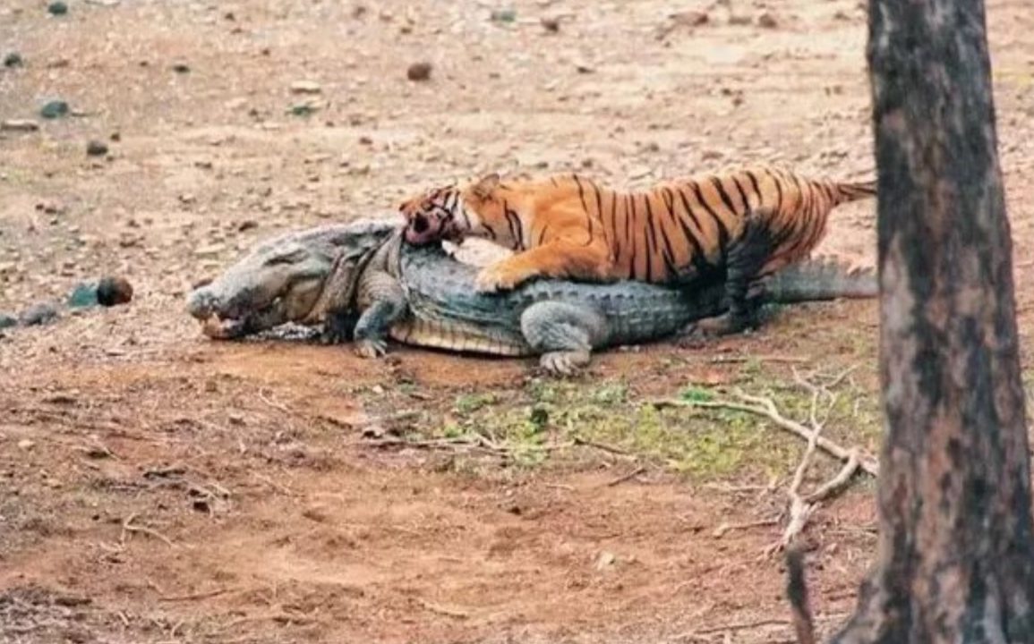
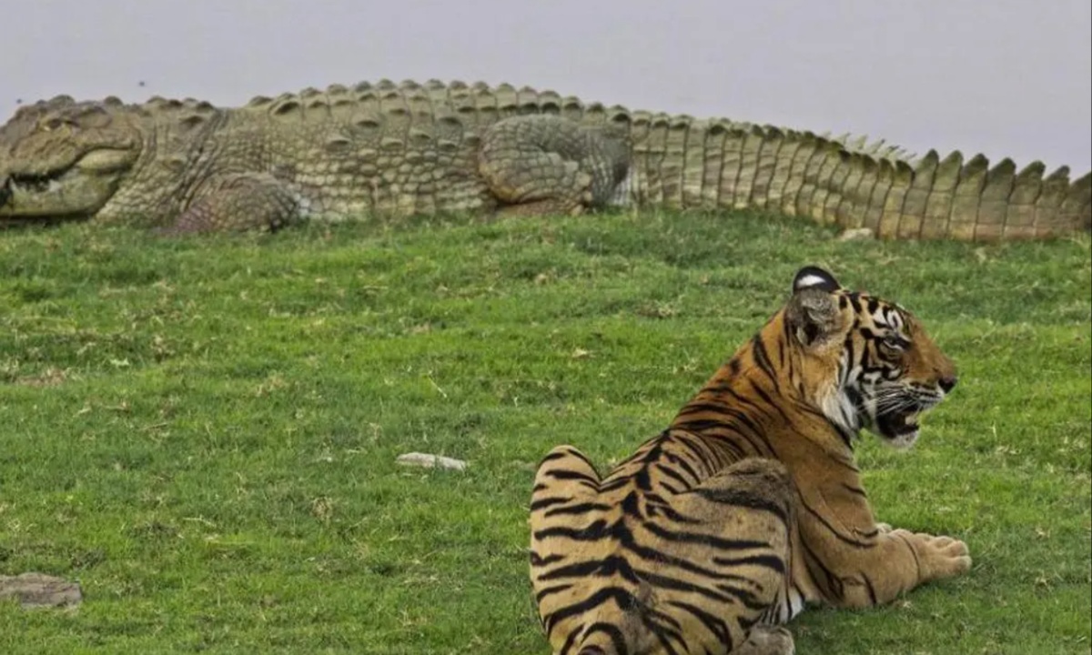
Field research in the Sundarbans is hampered by its challenging terrain and the presence of dangerous wildlife such as saltwater crocodiles and Bengal tigers. Coordinating research efforts requires significant logistical planning, which can be difficult in remote areas.
In response to these challenges, researchers are increasingly utilizing technology such as drones to monitor the health of the mangroves. One critical aspect of this monitoring involves assessing the height of the mangroves relative to sea level, as sediment deposits from rivers can affect ground levels but may not keep pace with rising sea levels.
To enhance the accuracy of their measurements, scientists have started using rod surface elevation tables (rSETs) equipped with Lidar scanners, which provide highly precise data about ground elevation. This method improves upon older techniques that were labor-intensive and prone to human error, although it does come with higher costs.
The research is still in its early stages, but measuring sites are being established across various locations, including the Sundarbans and the Andaman Islands, as part of ongoing efforts to better understand the mangrove ecosystems.
The local communities that depend on mangrove forests for their livelihoods are increasingly aware of the importance of preserving these ecosystems. Fisherman Laxman Anna from Andhra Pradesh shared his frustrations over poor catches due to mangrove destruction, particularly from shrimp farming.
However, with the support of NGOs and local forest departments, communities are taking proactive steps to restore mangrove habitats by planting saplings. As a result of these efforts, fishermen like Anna have begun to see improvements in their catch, significantly enhancing their economic prospects and overall well-being.