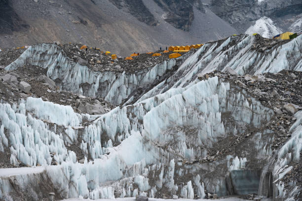
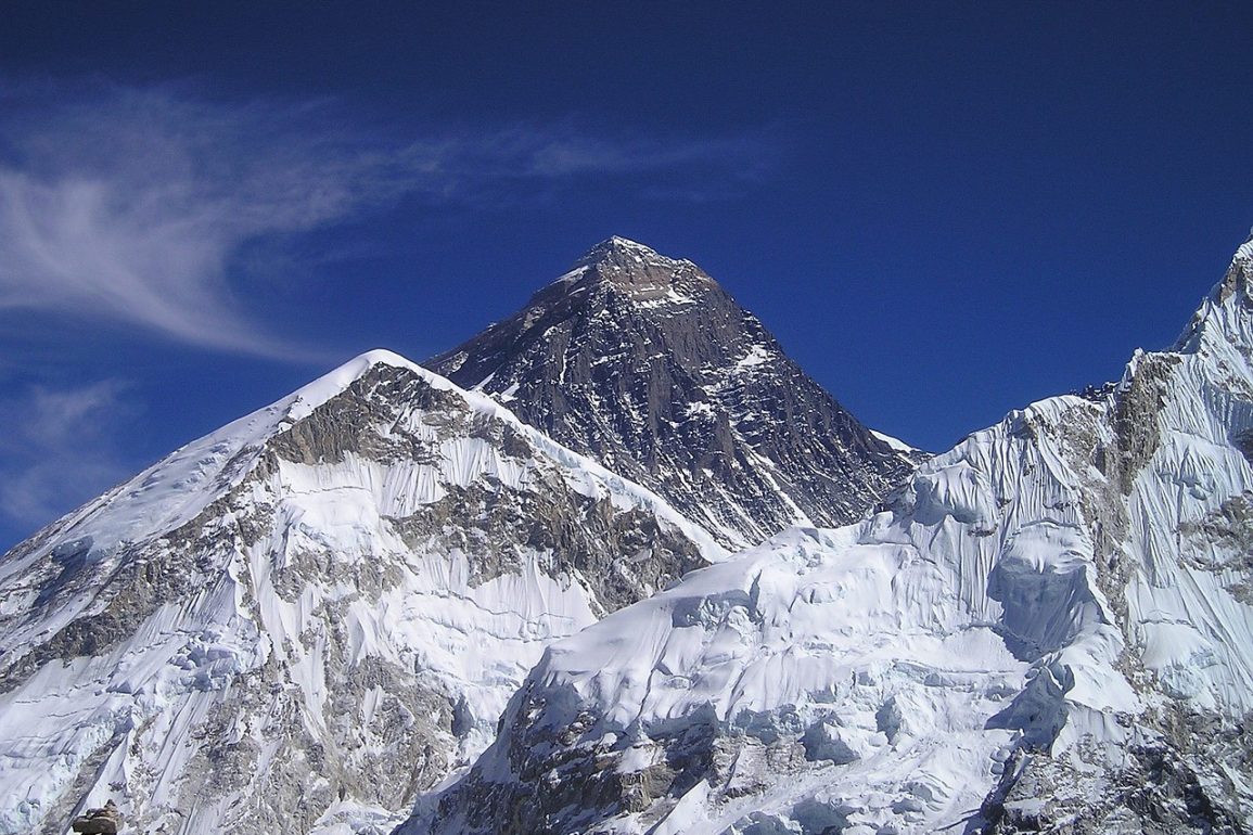
Recent research from UCL has revealed that Mount Everest, the tallest mountain on Earth, is approximately 15 to 50 meters taller than it would otherwise be due to uplift from nearby river erosion.
The study, published in Nature Geoscience, highlights how the Arun River, located about 75 kilometers from Everest, is carving a substantial gorge that allows the mountain to grow upwards by as much as 2 millimeters annually.
This phenomenon has increased Everest’s height by 15 to 50 meters over the past 89,000 years.
Standing at 8,849 meters, Everest, known as Chomolungma in Tibetan and Sagarmāthā in Nepali, rises significantly above its closest competitors in the Himalayas.

The anomaly in its height can be largely attributed to isostatic rebound, a process where the Earth’s crust flexes upward after the removal of mass due to erosion.
As the Arun River has eroded rocks and soil from its banks, the pressure beneath the Earth’s crust has allowed the mountain to rise, offsetting the natural forces of gravity.
The Arun River has historically shaped the region’s landscape, merging with the Kosi River system, which further enhances its erosive capacity.
This intricate interaction between erosion and uplift not only affects Everest but also neighboring peaks like Lhotse and Makalu, which are experiencing similar growth rates.
The researchers utilized GPS technology to track the mountains’ gradual increase in height, revealing the dynamic nature of Earth’s geological processes.
Lead author Dr. Xu Han emphasized that the findings underscore the ever-changing landscape of the region and the interplay between erosion and the forces from the Earth’s mantle that contribute to Mount Everest’s extraordinary height.

