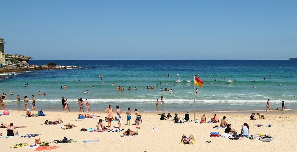
Sydney is set to experience a dramatic shift in weather as clear skies and warm temperatures give way to a cool change, potentially bringing hailstorms to northern New South Wales.
On Monday afternoon, the Sydney metro area reached a high of 30.8°C, while Moree recorded the state’s highest temperature at 33.5°C.
However, a cold front is expected to arrive late Monday evening, bringing showers, overcast skies, and cooler temperatures. Tuesday’s forecast shows a high of just 19°C, according to the Bureau of Meteorology’s Jiwon Park.
This cold front will cause temperature drops of 8°C to 12°C across the state.
 Severe thunderstorms may bring damaging winds, hail, and heavy rain to northern NSW.
The front is expected to reach northern NSW by Tuesday afternoon, where it could interact with a low-pressure system from Queensland, increasing the risk of severe thunderstorms.
These storms may bring damaging winds, heavy rainfall, and large hail.

Brisbane, which is forecasted to reach 33°C on Tuesday, will see a drop to around 24°C by Wednesday as the southerly change moves north.
Park noted that such temperature fluctuations are common during spring, with two more cold fronts expected to bring further changes to Sydney’s weather in the coming week.
Meanwhile, a small bushfire near Oberon was burning out of control but is expected to be contained soon.