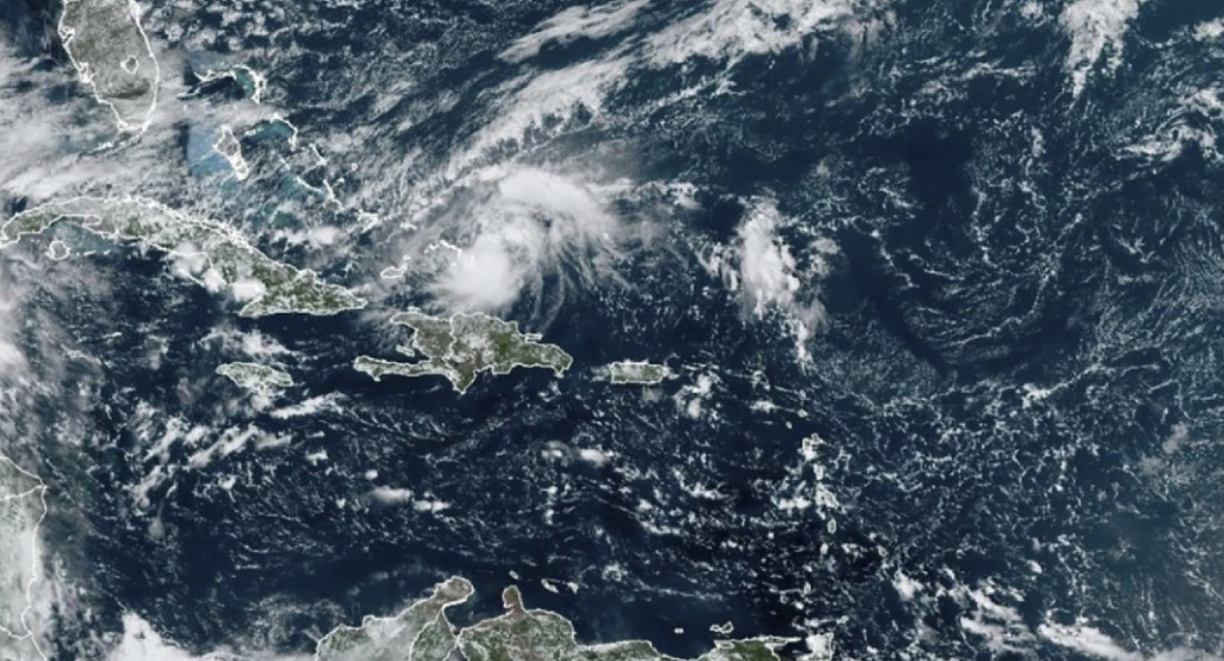
Hurricane Oscar has formed as the 10th hurricane of the 2024 Atlantic season, impacting the Turks and Caicos Islands on Saturday night and the far southern Bahamas on Sunday.
Initially regarded as a low-risk tropical disturbance by the U.S. National Hurricane Center, Oscar emerged from a tropical wave that originated in western Africa on October 10, causing thunderstorms and gusty winds in the Cabo Verde Islands.
As it progressed westward across the Atlantic, dry air hindered its organization.
By October 19, as the disturbance moved north of Puerto Rico, the chances of development remained low.
However, within hours, the storm’s thunderstorm activity intensified, leading to its classification as a tropical storm and the assignment of the name Oscar.
Hurricane hunters later identified a small area of hurricane-force winds, prompting the upgrade to hurricane status.

Oscar is forecasted to impact eastern Cuba on Monday before moving northward and transitioning into a powerful extratropical cyclone, potentially bringing wind gusts exceeding 70 mph to parts of southeastern Canada later this week.
In other tropical news, the remnants of Tropical Storm Nadine are anticipated to redevelop into a new system south of Mexico, tracking westward with no significant land impacts expected.
In Australia, October has seen above-average temperatures following record warmth in August and September. Last week, parts of southern and eastern Australia experienced daily highs in the high 30s to low 40s Celsius.
Notably, South Australia recorded its highest temperature in 29 years, reaching 43.7°C in Coober Pedy.
This heat has led to heavy showers and thunderstorms, particularly in New South Wales and Victoria, where torrential downpours resulted in flash flooding and severe weather events, including strong winds and large hail.
As the week progresses, heatwave conditions are set to shift to northern Western Australia, with nighttime temperatures projected to remain above 30°C in some areas.

