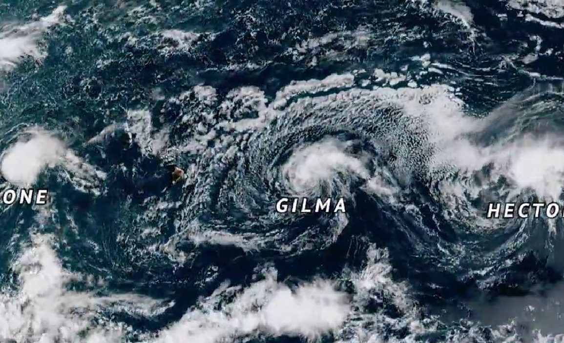
This week, the Pacific Ocean has become the focal point of intense meteorological activity. In the northeast, two hurricanes and a typhoon in the northwest are generating considerable weather impacts.
Hurricane Gilma, a powerful category 4 storm, rapidly intensified on Sunday as it moved westward through the Pacific. While the storm’s path has avoided significant damage, it has created hazardous sea conditions.
Marine vessels are advised to steer clear of the region due to 3.5-metre-high swells and sustained winds reaching 130mph.
Gilma is expected to approach the Hawaiian archipelago by Friday, but weather models predict it will weaken into a remnant low-pressure system before causing any notable impact on the islands.
In stark contrast, Hurricane Hone made landfall on the Hawaiian islands this weekend, passing just 50 nautical miles south of the Big Island.

This category 1 hurricane brought sustained winds near 80mph and elevated surf, resulting in breaking waves up to 4.3 meters high. The storm has caused substantial rainfall, with weather stations on the eastern side of the Big Island recording 110mm within six hours on Saturday night.
Rainfall totals reached 250mm within the first 24 hours and 350mm in Mountain View, far surpassing the average August precipitation. The biggest concerns with Hurricane Hone are flash flooding and landslides, particularly on the eastern slopes of the island. Conditions are expected to improve as Hone moves westward on Monday.
Meanwhile, Typhoon Shanshan is advancing towards southern Japan, with sustained winds of 75mph and gusts up to 110mph reported on Sunday.
The storm is forecast to strengthen into a very strong typhoon by Tuesday, with wind speeds potentially reaching 125mph. This poses a serious threat to infrastructure as Shanshan moves closer to land.
Additionally, forecasts predict over 300mm of rain in some areas by Thursday, significantly increasing the risk of flash flooding and landslides, especially in mountainous regions.
As these storms continue to evolve, residents and authorities across the affected regions should stay informed and prepared for further developments.

