Good morning. We’re continuing to track severe weather conditions across the UK as thunderstorm warnings remain in effect.
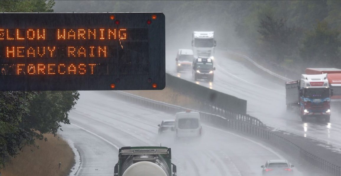
The yellow alert, which began early Sunday, covers most of England, eastern Wales, and eastern Scotland, and will stay active until Tuesday.
Today, we’re expecting intense rainfall, with some areas possibly seeing between 30 to 40mm of rain within an hour. In more severe spots, rainfall could reach 60 to 80mm, leading to potential flash flooding.
Senior operational meteorologist Marco Petagna attributes this storm activity to a low-pressure system lingering over the UK.
 Meteorologists warn of thunderstorms, travel delays, and potential power outages over the coming days.
He warns of heavy showers, which may become thundery, particularly in central and eastern regions. Flooding, lightning strikes, travel disruptions, and possibly even power outages are all potential risks.
On Sunday, Dorset experienced up to 25mm of rain in just an hour, while temperatures soared to 30°C in the southeast. Today, temperatures are expected to peak at 25°C in the southeast but will be cooler in the north and west.

Looking ahead, lighter, more scattered showers and periods of sunshine are predicted for Tuesday and Wednesday. However, be prepared for more thunderstorms to return to southern England starting Thursday.
Stay tuned to local weather updates and take necessary precautions to stay safe during these conditions.