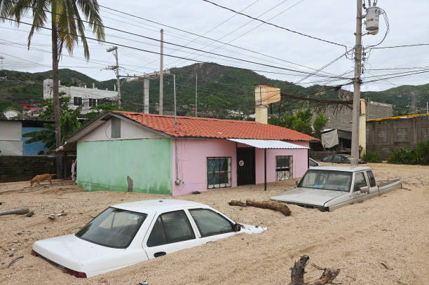
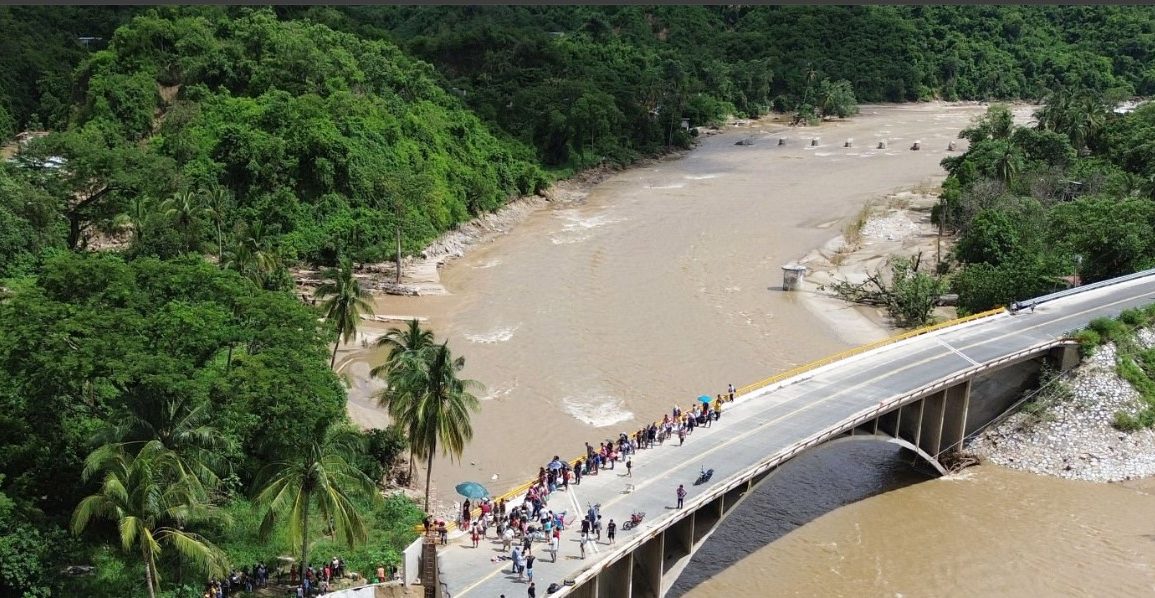
This week has seen significant weather activity across the globe, beginning with Hurricane John, which made landfall on the southern Pacific coast of Mexico on Monday.
The storm rapidly intensified from a tropical storm to a Category 3 hurricane, reaching sustained winds of 120 mph. However, John weakened swiftly back to a tropical storm, with winds decreasing to 50 mph by Tuesday morning.
The slow movement of the storm led to over 400 mm of rainfall, causing severe flooding and mudslides that tragically resulted in two fatalities.
As John moves slightly east back into the ocean, it is anticipated to regain hurricane strength, continuing its slow northeast path along the Mexican coast. Southern Mexico could see additional rainfall totals exceeding 700 mm by the end of the week.

Meanwhile, in India, Pune experienced its third wettest September day since 1901, with more than 130 mm of rain falling in just 24 hours.
While heavy rainfall is typical during the monsoon months, such intense downpours in late September have become increasingly common due to a delayed retreat of the monsoon.
Excess moisture from the Bay of Bengal and Arabian Sea, coupled with a low-pressure system, has contributed to the current weather conditions, with more rain expected in the coming days.
In Europe, a fresh wave of cold air is set to sweep across northern and western regions this week.
Following a recent cold snap, a northerly airflow will bring Arctic conditions southward, potentially impacting temperatures across much of northern and western Europe.
Expect temperatures to drop 5-10°C below the seasonal average into the weekend, with brief fluctuations expected next week. Stay tuned for further updates on these dynamic weather patterns!

