Australia’s first tropical cyclone of the season, Jasper, has rapidly evolved into a severe storm, with predictions suggesting it will strike the Queensland coast by next week. As of Wednesday afternoon, Jasper was situated approximately 1,390 kilometers east north-east of Cairns, still some distance from the Australian coast. However, forecasters warn that the cyclone’s path is becoming increasingly uncertain, with predictions that it could bring hurricane-force winds and heavy rainfall to the high seas, potentially creating rough seas and swells.
The Bureau of Meteorology has issued warnings that the severe tropical cyclone will continue to intensify, possibly reaching category four on Thursday and possibly even category five – the highest level – by evening. Senior forecaster Laura Boekel explained that it is unusual to see a tropical cyclone near Queensland so early in the summer period, especially during an El Niño event, which typically brings drier conditions. “We typically see fewer cyclones and we also see the cyclone season starting a bit later,” she said.
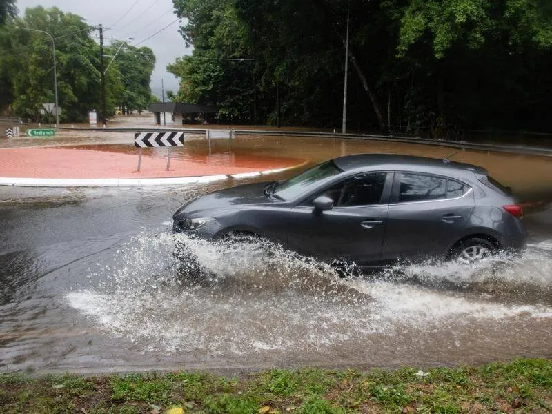
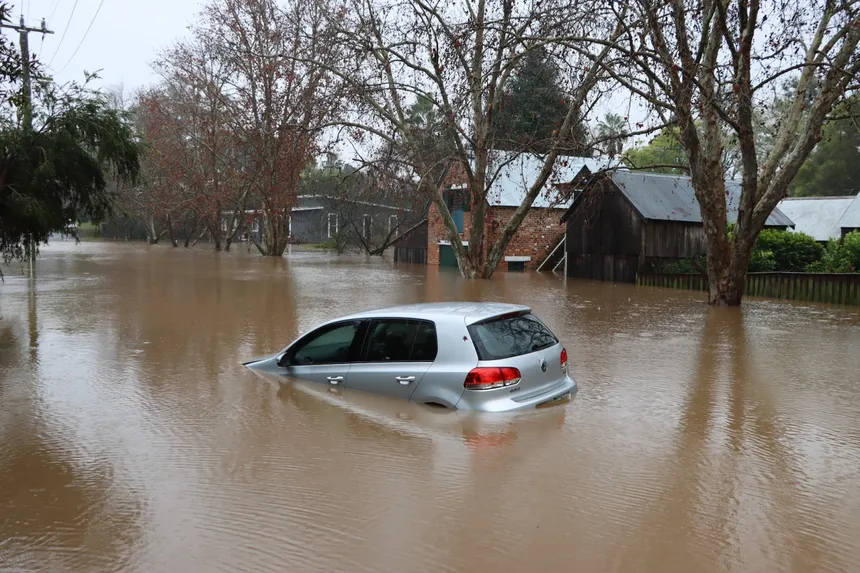 Cyclone Jasper Aftermath
Despite being several days away from the Queensland coast, Boekel stressed that the highest area of risk was the eastern coast, encompassing holiday destinations such as Cairns and Port Douglas. Communities north of Mackay have been advised to review their cyclone plans, and emergency services are urging everyone to prepare for the potential impact.
Boekel emphasized that the first impacts would likely be felt in coastal waters offshore, with the cyclone expected to take a south-southwest track into the Coral Sea, weakening slightly over the weekend before tracking towards the north Queensland coast. The timing and severity of the storm remained uncertain on Wednesday evening.
As the situation evolves, the Bureau of Meteorology will provide updates every six hours, issuing watches and warnings as necessary. When winds are expected to hit the coast within 24 hours, a warning will be issued for affected areas. Boekel urged everyone to stay informed, noting that every tropical cyclone is different, but this one could bring high winds and rainfall, leading to damaging flooding, hazardous surf, and storm surge. “This really is a multi-hazard scenario,” she said.