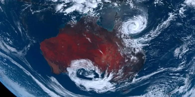
Cyclone Jasper is intensifying as it heads towards the Queensland coast. Currently a category 3 tropical cyclone, it is expected to strengthen to category 4 by Thursday night or Friday, according to the Bureau of Meteorology.
At 4 pm AEST Thursday, Jasper was about 1,290 kilometers east-north-east of Cairns, moving south-south-west at 9 km/h through the Coral Sea.
Over the weekend, Jasper is forecasted to weaken as it turns westward towards the Queensland coast. The bureau indicates a high likelihood of Jasper remaining a tropical cyclone for the next week but notes that it could weaken if it moves over land by mid to late next week.
 The first December cyclone in El Niño year, Jasper poses a high risk for the Queensland coast.
The highest risk of cyclone impact is between Cooktown and Mackay, including Cairns and Townsville, although the exact timing remains uncertain. As Jasper nears the coast, it may intensify again, potentially leading to severe impacts.

Jasper is noteworthy as it is the first tropical cyclone of the season and the earliest recorded cyclone in December during an El Niño event. The Bureau of Meteorology highlighted the rarity of December cyclones, especially in an El Niño year.
The bureau will provide regular updates as the situation develops, allowing communities time to prepare. Queensland’s cyclone season usually peaks in February and March, making this early occurrence unusual.