
Australia is enduring a severe heatwave impacting vast regions, with some inland areas facing temperatures reminiscent of the 2019-2020 bushfires.
The Bureau of Meteorology has issued warnings for extreme heat across Western Australia, Queensland, South Australia, and the Northern Territory.
On Tuesday, some areas sweltered with temperatures soaring into the mid-40s. The heatwave is expected to persist, with the Bureau forecasting temperatures 5°C to 12°C above average throughout the week.
By Thursday and Friday, northern South Australia, southwestern Queensland, and northern New South Wales will see temperatures in the mid to high 40s, according to Dean Narramore, a senior meteorologist at the Bureau.
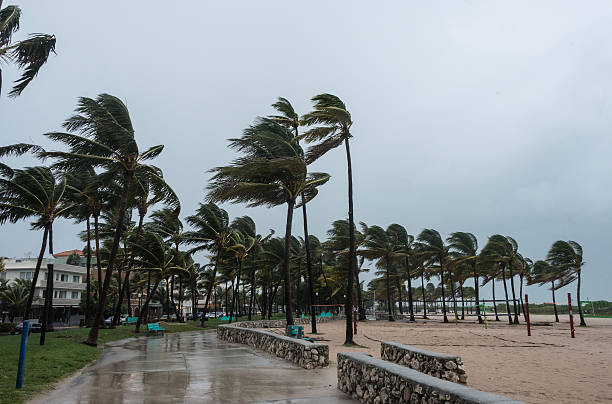 Tropical Cyclone Kirrily is forecast to intensify, impacting Queensland with strong winds and rain.
In New South Wales, Newcastle and Moree will face temperatures near 40°C on Thursday and Friday. Walgett might hit 42°C, while Wilcannia could reach 46°C.
Narramore noted that this heat mirrors conditions during the 2019-2020 bushfires, but a cool change is anticipated by late Friday and the weekend.
NSW emergency services urge residents, especially those over 65, to stay hydrated and avoid outdoor activities during peak heat. Sydney will see mid-30s temperatures on Australia Day, with Penrith potentially reaching 39°C. Canberra will experience 33°C on Thursday but cool to 26°C by Friday with morning showers.

Perth will remain in the mid-30s from Friday through the weekend. Adelaide hit 40°C on Tuesday, with a high of 36°C by 11 am and an extreme UV rating of 13.
Temperatures should fall to 24°C by Friday. Melbourne will stay cooler with rain and thunderstorms on Thursday and a maximum of 23°C on Australia Day.
In the Northern Territory, heavy rainfall has caused flooding, and Tropical Cyclone Kirrily is forecast to intensify and cross the Queensland coast late Thursday, likely near Townsville as a category-two cyclone. This cyclone will bring winds between 89 km/h and 117 km/h, potentially damaging homes and infrastructure.