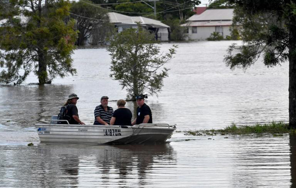
Heavy rain has been hammering southeastern Australia since Thursday night, with the downpour expected to persist until Saturday morning local time.
New South Wales is bearing the brunt, facing cumulative rainfall totals between 150-200mm along its coast. Hourly rain could hit 10-20mm, with some regions potentially seeing 50mm in just three hours. The heavy rain will be accompanied by strong winds, gusting up to 45mph (72km/h).
Sydney, in particular, is expected to suffer significantly, with authorities warning of life-threatening floods, especially around the Hawkesbury-Nepean River northwest of the city.

The current weather is caused by a clash between cooler polar air from the south and warmer tropical air from the north, forming a frontal boundary. This scenario was also seen frequently in 2022, Sydney’s wettest year on record.
As the rain band settles, a low-pressure area is likely to form near Sydney, which could intensify the rainfall and heighten flood risks. This low-pressure system is expected to move south over the weekend, bringing rain and possibly thunderstorms to eastern Victoria and affecting Canberra.
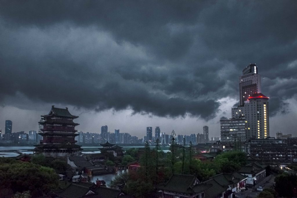
In China, Jiangxi province experienced severe thunderstorms last weekend, featuring frequent lightning, strong winds, and golf ball-sized hailstones.
The winds reached category 12 on the local scale, equivalent to typhoon strength, which is unusual for inland areas.
The storms affected around 93,000 people across nine cities, resulting in seven deaths, with three fatalities due to individuals being blown from high-rise buildings. The storms destroyed over 2,500 homes and displaced 800 people.
In the northeastern US, unsettled weather has brought a storm from the southwest, causing gusts over 50mph and heavy rain. Flood warnings are in effect, and some homes are without power. The storm is expected to move into eastern Canada, where snow warnings are in place, with possible accumulations of 15-30cm.

