Scotland has experienced an unseasonably cold and miserable start to the summer, and experts are now explaining why.
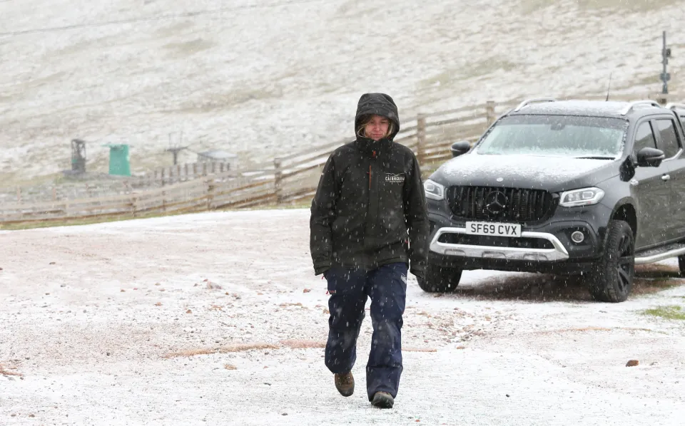
After May, which was one of the hottest springs on record, June brought snow to some parts of the country. This year’s Scottish weather has indeed been quite erratic.
As we move into July, the question arises whether we will see the return of sunshine for the remainder of the summer months.
With no real end to the torrential downpours in sight, weather experts have revealed the cause.
The forecaster, Calum MacColl, explained that the jet stream over Scotland is pushing cold and wet weather in our direction.
The jet stream, a strong current of air, is currently blowing in a north-westerly course over us.
“This has resulted in Scotland often being either under, or more commonly, on the cold side of the jet,” MacColl explained.
“As a consequence, we have frequently seen polar maritime airstreams curve around areas of low pressure to our north, bringing persistent chilly and unsettled conditions with frequent showery days and periods of longer spells of rain.”
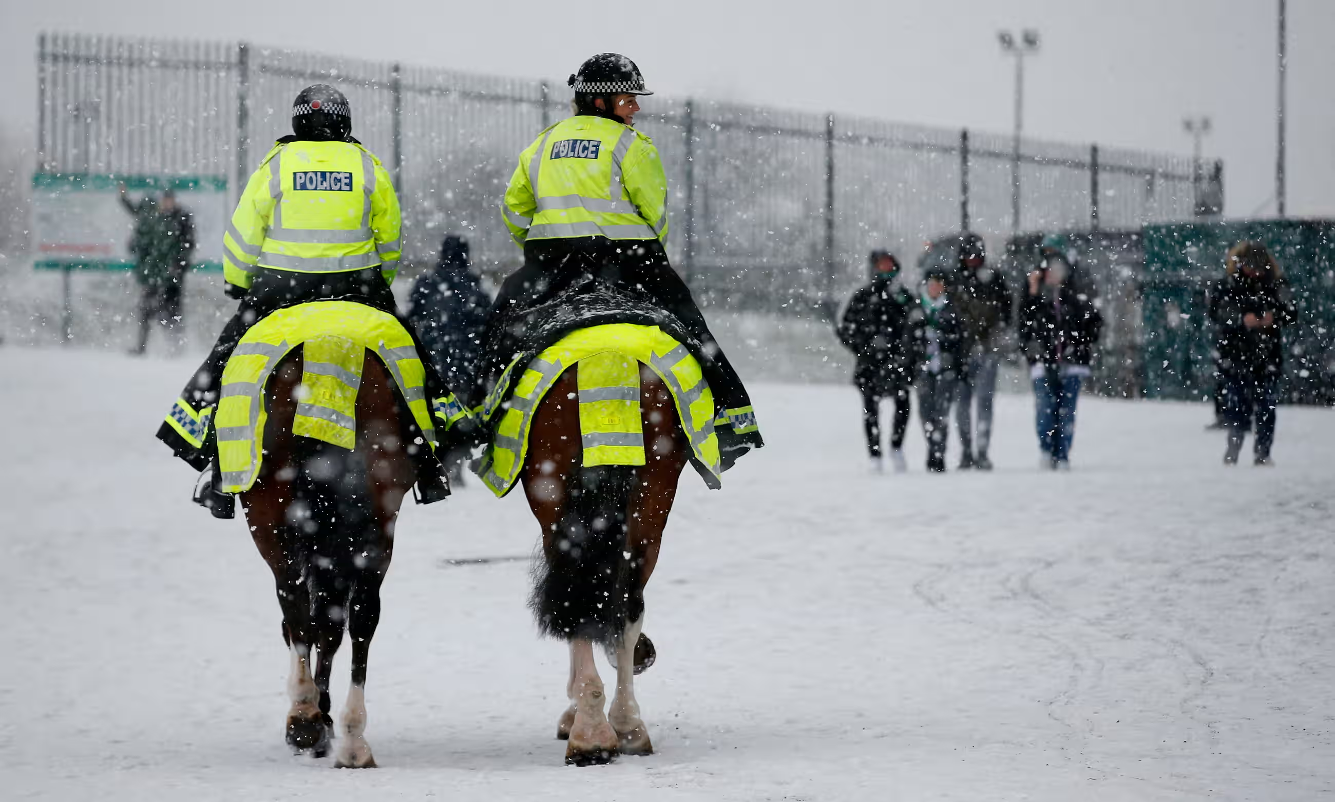 Snowstorm in Glasgow (Photo: Craig Brough)
He added, “While the prolonged nature of such a chilly weather pattern through June and into July has been unusual, given our proximity to the Atlantic and the prevailing west to south-westerly flow, we do get summers where there are very few breaks in the Atlantic winds, which just continue to blow across the country maintaining changeable, cool, cloudy, and often wet conditions.”

Warning that “there are still no signs of any prolonged and settled, summery weather on the horizon,” MacColl predicted that election day will be “unseasonably windy” with spells of rain throughout the day.
“With the chilly west to north-westerly air patterns persisting to the end of the week and an unseasonably windy day ahead for election day with showers or longer spells of rain,” he said.
“It will even be cold enough over the top of Ben Nevis for snow to fall – although such an occurrence can happen at any time of the year on our mountains.”
The forecaster added, “While next week, a change in wind direction to the south or southeast will bring a recovery in temperature with perhaps some drier days early in the week, further areas of low pressure are likely to move in from the southwest as the week progresses, bringing further unsettled conditions with rain or showers.”